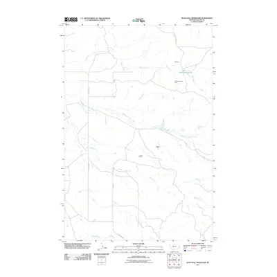
2011 Map of Rush Hall Reservoir
USGS Topo · Published 2011About this map
Rush Hall Reservoir stands as a central water feature in this portion of Fallon County, where water management and industrial activity define the landscape. The northern reaches are shaped by the flow of Wills Creek and several significant man-made structures, including Hall Dam and Keirle Number 3 Dam. The presence of the Cupton Oil Field in the central-western section indicates the region's reliance on natural resource extraction. Transport is facilitated by rural arteries such as Cap Rock Rd and Cabin Creek Rd, which provide access through the undulating terrain carved by the Middle Fork Cabin Creek and Cabin Creek. This 2011 survey captures the intersection of prairie drainage systems and the infrastructure required to support local energy and agricultural interests.
Find a feature on this map
11 named features on this map. Tap any name to fly to it.
Don’t see what you’re looking for? This feature index may not catch every label — zoom into the map to look around manually.
Map Details
Editions of this 2011 Rush Hall Reservoir Map
This is the sole edition of this map. No revisions or reprints were ever made.
Other maps of this area

1953 · Miles City
USGS Topo · 1:250,000

1957 · Miles City
USGS Topo · 1:250,000

1958 · Miles City
USGS Topo · 1:250,000
1981 · Baker
USGS Topo · 1:100,000
1981 · Baker NE
USGS Topo · 1:24,000
1981 · Lawrence Creek East
USGS Topo · 1:24,000
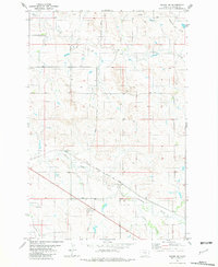
1981 · Baker NW
USGS Topo · 1:24,000
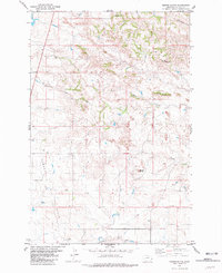
1981 · Morris Butte
USGS Topo · 1:24,000
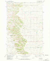
1981 · Cap Rock
USGS Topo · 1:24,000
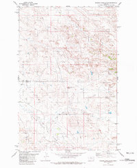
1981 · Rocking Chair Butte
USGS Topo · 1:24,000