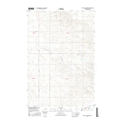
2017 Map of Rush Hall Reservoir
USGS Topo · Published 2017About this map
Rush Hall Reservoir serves as a central water feature in this portion of Fallon County, Montana. The landscape is defined by the drainage systems of Wills Cr and the Middle Fork Cabin Creek, which flow through the undulating topography typical of the eastern Montana plains. This 2017 survey illustrates a sparsely populated ranching and grazing region where infrastructure is limited to essential connectors like Cabin Creek Rd and Cap Rock Rd. The map provides a detailed view of the local land management, demarcated by township and range lines such as t10n r59e. Of particular interest to those exploring the local terrain is the Battleship Butte Trl, which suggests a route through the more distinctive geological formations in the area. The absence of dense settlement highlights the vast, open-range character of the territory during this period.
Find a feature on this map
11 named features on this map. Tap any name to fly to it.
Don’t see what you’re looking for? This feature index may not catch every label — zoom into the map to look around manually.
Map Details
Editions of this 2017 Rush Hall Reservoir Map
This is the sole edition of this map. No revisions or reprints were ever made.
Other maps of this area

1953 · Miles City
USGS Topo · 1:250,000

1957 · Miles City
USGS Topo · 1:250,000

1958 · Miles City
USGS Topo · 1:250,000
1981 · Baker
USGS Topo · 1:100,000
1981 · Baker NE
USGS Topo · 1:24,000
1981 · Lawrence Creek East
USGS Topo · 1:24,000
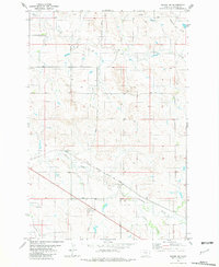
1981 · Baker NW
USGS Topo · 1:24,000
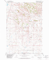
1981 · Morris Butte
USGS Topo · 1:24,000
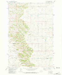
1981 · Cap Rock
USGS Topo · 1:24,000
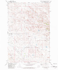
1981 · Rocking Chair Butte
USGS Topo · 1:24,000