
1902 Map of Rush Springs
USGS Topo · Published 1902About this map
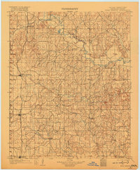
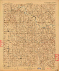
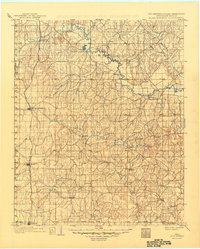
The Washita River snakes through the northern reaches of the Chickasaw Nation in this 1898 survey of the Indian Territory. The landscape is defined by a dense network of watercourses, including Rush Creek, Roaring Creek, and Wildhorse Creek, which dictated early settlement patterns before statehood. The Chicago Rock Island and Pacific railroad provides the primary north-south transportation artery, connecting the growing hubs of Rush Springs, Marlow, and Ninnekah.
Find a feature on this map
39 named features on this map. Tap any name to fly to it.
Don’t see what you’re looking for? This feature index may not catch every label — zoom into the map to look around manually.
Map Details
Editions of this 1902 Rush Springs Map
4 editions found
Other maps of this area

1893 · Norman
USGS Topo · 1:62,500

1898 · Purcell
USGS Topo · 1:125,000

1898 · Pauls Valley
USGS Topo · 1:125,000

1901 · Addington
USGS Topo · 1:125,000

1901 · Ardmore
USGS Topo · 1:125,000

1902 · Pauls Valley
USGS Topo · 1:125,000

1904 · Chickasha
USGS Topo · 1:125,000

1918 · Ardmore
USGS Topo · 1:125,000

1936 · Norman
USGS Topo · 1:62,500

1945 · Anadarko
USGS Topo · 1:62,500