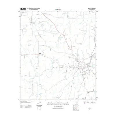
2013 Map of Rusk
USGS Topo · Published 2013About this map
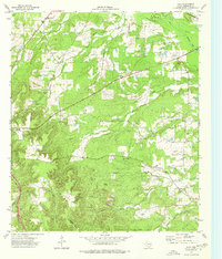
Rusk serves as the focal point of this East Texas survey, showing the city's structure during the early 21st century. The landscape is marked by its specialized public institutions, notably the State Hospital Reservoir and the adjacent State Hospital Cem, alongside the Old Prison Cem. These features point to the long-standing role of state facilities in the local economy and social history. Surrounding the city, smaller communities like Dialville, Delmer, and Oakland maintain their identities along the network of farm-to-market roads and county routes. Genealogists will find a wealth of burial grounds across the quadrangle, from the Jones Cem near the Cherokee County Airport in the north to Salem Cem in the south. The terrain is defined by a dense drainage network including Beans Cr, Taylor Br, and One Eye Cr, which feed numerous small reservoirs like Dickey Lake and Stovall Lake.
Find a feature on this map
149 named features on this map. Tap any name to fly to it.
Don’t see what you’re looking for? This feature index may not catch every label — zoom into the map to look around manually.
Map Details
Editions of this 2013 Rusk Map
This is the sole edition of this map. No revisions or reprints were ever made.
Other maps of this area
1943 · Rusk
USGS Topo · 1:62,500
1945 · Rusk
USGS Topo · 1:62,500
1946 · Alto
USGS Topo · 1:62,500
1951 · Jacksonville
USGS Topo · 1:62,500
1952 · Slocum
USGS Topo · 1:62,500

1953 · Palestine
USGS Topo · 1:250,000

1957 · Palestine
USGS Topo · 1:250,000
1973 · New Summerfield
USGS Topo · 1:24,000
1973 · Jacksonville East
USGS Topo · 1:24,000
1973 · Atoy
USGS Topo · 1:24,000