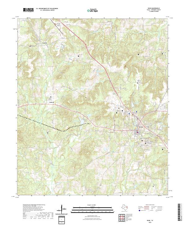
2022 Map of Rusk
USGS Topo · Published 2022About this map
Rusk serves as the focal point of this East Texas survey, anchored by the Cherokee County Courthouse and a dense network of civic and institutional sites. The landscape is notably marked by its healthcare and correctional history, visible through the State Hospital Reservoir and the State Hospital Cem, alongside the Rusk Prison Cem. These institutional footprints, combined with the Cherokee County Airport to the north, illustrate the town's role as a regional administrative and service hub.
Find a feature on this map
133 named features on this map. Tap any name to fly to it.
Don’t see what you’re looking for? This feature index may not catch every label — zoom into the map to look around manually.
Map Details
Editions of this 2022 Rusk Map
This is the sole edition of this map. No revisions or reprints were ever made.
Other maps of this area

1943 · Rusk
USGS Topo · 1:62,500

1945 · Rusk
USGS Topo · 1:62,500

1946 · Alto
USGS Topo · 1:62,500

1951 · Jacksonville
USGS Topo · 1:62,500

1952 · Slocum
USGS Topo · 1:62,500

1953 · Palestine
USGS Topo · 1:250,000

1957 · Palestine
USGS Topo · 1:250,000
1973 · New Summerfield
USGS Topo · 1:24,000
1973 · Jacksonville East
USGS Topo · 1:24,000
1973 · Atoy
USGS Topo · 1:24,000