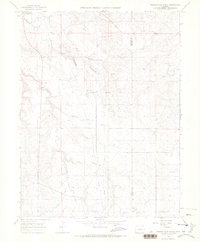
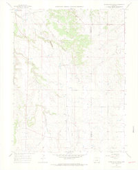
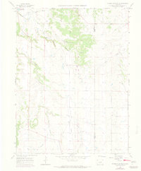
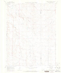
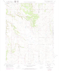
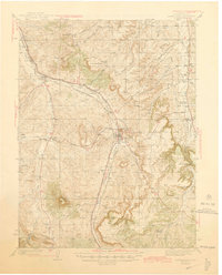
1966 Map of Russellville Gulch
USGS Topo · Published 1968About this map
Russellville marks a pivotal point in Colorado history as the location of the 1858 gold discovery that helped spark the Pikes Peak Gold Rush. Situated along the boundary of Douglas and Elbert counties, this landscape is defined by the drainages of Cherry Creek and Russellville Gulch. The terrain reflects a shift from early mining roots toward mid-century ranching and infrastructure, with Barney Bird Reservoir No 1 and various pipelines traversing the hills.
Find a feature on this map
17 named features on this map. Tap any name to fly to it.
Don’t see what you’re looking for? This feature index may not catch every label — zoom into the map to look around manually.
Map Details
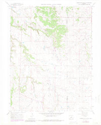
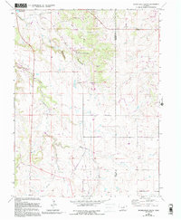
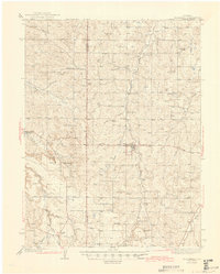
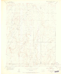
Editions of this 1966 Russellville Gulch Map
7 editions found
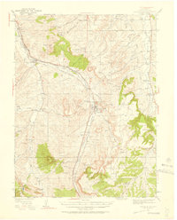
Other maps of this area

1894 · Castle Rock
USGS Topo · 1:125,000

1913 · Castle Rock
USGS Topo · 1:125,000

1939 · Elizabeth
USGS Topo · 1:62,500

1940 · Elbert
USGS Topo · 1:62,500
1940 · Castle Rock
USGS Topo · 1:62,500

1944 · Elbert
USGS Topo · 1:62,500
1945 · Castle Rock
USGS Topo · 1:62,500
1945 · Elizabeth
USGS Topo · 1:62,500

1953 · Denver
USGS Topo · 1:250,000
1954 · Cherry Valley School
USGS Topo · 1:24,000