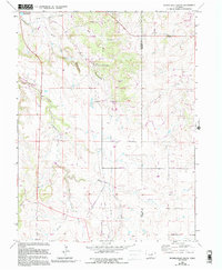
1966 Map of Russellville Gulch
USGS Topo · Published 1994About this map
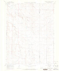
Russellville marks a significant historical point on this landscape, identified as the location of an early gold discovery. Situated along the drainage of Russellville Gulch, this area in the mid-1960s shows a transition between ranching land and preserved natural space, notably within Castlewood Canyon State Park. The map documents a convergence of famous western corridors, including the Bozeman Trail, Santa Fe Trail, and Chisholm Trail, illustrating how this part of the state served as a crossroads for pioneers and cattle drivers alike.
Find a feature on this map
34 named features on this map. Tap any name to fly to it.
Don’t see what you’re looking for? This feature index may not catch every label — zoom into the map to look around manually.
Map Details
Editions of this 1966 Russellville Gulch Map
7 editions found
Other maps of this area

1894 · Castle Rock
USGS Topo · 1:125,000

1913 · Castle Rock
USGS Topo · 1:125,000

1939 · Elizabeth
USGS Topo · 1:62,500

1940 · Elbert
USGS Topo · 1:62,500

1940 · Castle Rock
USGS Topo · 1:62,500

1944 · Elbert
USGS Topo · 1:62,500

1945 · Castle Rock
USGS Topo · 1:62,500

1945 · Elizabeth
USGS Topo · 1:62,500

1953 · Denver
USGS Topo · 1:250,000

1954 · Cherry Valley School
USGS Topo · 1:24,000