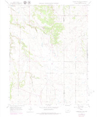
1966 Map of Russellville Gulch
USGS Topo · Published 1979About this map
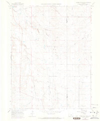
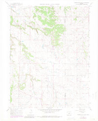
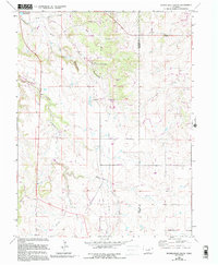
Russellville marks a significant historical point on this 1960s landscape, identified as the location where Russell first discovered gold. This area on the Douglas and Elbert County line is defined by a complex drainage network where West Cherry Creek and East Cherry Creek converge. The terrain is deeply incised by Russellville Gulch, Reed Hollow, and Wildcat Canyon, illustrating the high-plains geography before significant modern development.
Find a feature on this map
16 named features on this map. Tap any name to fly to it.
Don’t see what you’re looking for? This feature index may not catch every label — zoom into the map to look around manually.
Map Details
Editions of this 1966 Russellville Gulch Map
7 editions found
Other maps of this area

1894 · Castle Rock
USGS Topo · 1:125,000

1913 · Castle Rock
USGS Topo · 1:125,000

1939 · Elizabeth
USGS Topo · 1:62,500

1940 · Elbert
USGS Topo · 1:62,500

1940 · Castle Rock
USGS Topo · 1:62,500

1944 · Elbert
USGS Topo · 1:62,500

1945 · Castle Rock
USGS Topo · 1:62,500

1945 · Elizabeth
USGS Topo · 1:62,500

1953 · Denver
USGS Topo · 1:250,000

1954 · Cherry Valley School
USGS Topo · 1:24,000