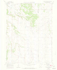
1966 Map of Russellville Gulch
USGS Topo · Published 1973About this map
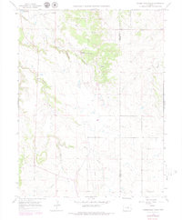
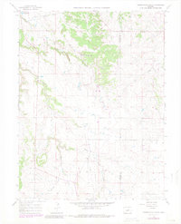
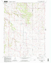
Russellville serves as the historical anchor for this mid-1960s survey, marking the specific location where the Russell party’s discovery helped spark the Colorado Gold Rush. The landscape is defined by the complex drainage systems of Cherry Creek, including its East and West forks, which carve through the high plains terrain along the border of Douglas and Elbert counties. The map documents a transition from pioneer mining history to mid-century utility, evidenced by the presence of a large Pipeline cutting north-to-south and several Radio Towers. Local resource extraction is noted through a Claypit and Gravel Pit, while water management is highlighted by the Barney Bird Reservoir No 1. The terrain is characterized by deep incisions like Wildcat Canyon and Russellville Gulch, illustrating the rugged erosional patterns typical of the Palmer Divide region.
Find a feature on this map
19 named features on this map. Tap any name to fly to it.
Don’t see what you’re looking for? This feature index may not catch every label — zoom into the map to look around manually.
Map Details
Editions of this 1966 Russellville Gulch Map
7 editions found
Other maps of this area

1894 · Castle Rock
USGS Topo · 1:125,000

1913 · Castle Rock
USGS Topo · 1:125,000

1939 · Elizabeth
USGS Topo · 1:62,500

1940 · Elbert
USGS Topo · 1:62,500

1940 · Castle Rock
USGS Topo · 1:62,500

1944 · Elbert
USGS Topo · 1:62,500

1945 · Castle Rock
USGS Topo · 1:62,500

1945 · Elizabeth
USGS Topo · 1:62,500

1953 · Denver
USGS Topo · 1:250,000

1954 · Cherry Valley School
USGS Topo · 1:24,000