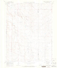
1966 Map of Russellville Gulch
USGS Topo · Published 1973About this map
Russellville sits at the heart of this landscape, specifically noted as the site of a gold discovery by Russell. This mid-1960s survey captures the area's drainage and topography along the border of Douglas Co and Elbert Co, defined by the converging branches of Cherry Creek. The map documents a predominantly rural environment where the hydrology of West Cherry Creek and East Cherry Creek shaped the early ranching and prospecting life of the region.
Find a feature on this map
17 named features on this map. Tap any name to fly to it.
Don’t see what you’re looking for? This feature index may not catch every label — zoom into the map to look around manually.
Map Details
Editions of this 1966 Russellville Gulch Map
7 editions found
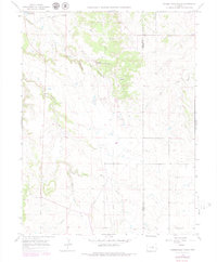
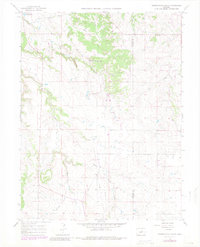
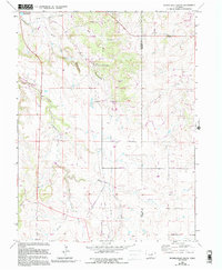
Other maps of this area

1894 · Castle Rock
USGS Topo · 1:125,000

1913 · Castle Rock
USGS Topo · 1:125,000

1939 · Elizabeth
USGS Topo · 1:62,500

1940 · Elbert
USGS Topo · 1:62,500

1940 · Castle Rock
USGS Topo · 1:62,500

1944 · Elbert
USGS Topo · 1:62,500

1945 · Castle Rock
USGS Topo · 1:62,500

1945 · Elizabeth
USGS Topo · 1:62,500

1953 · Denver
USGS Topo · 1:250,000

1954 · Cherry Valley School
USGS Topo · 1:24,000