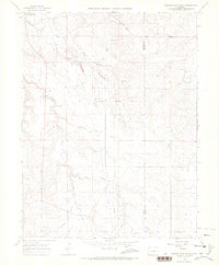
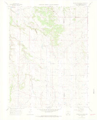
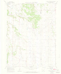
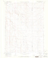
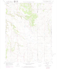
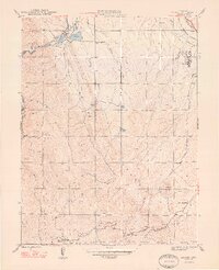
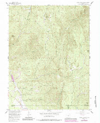
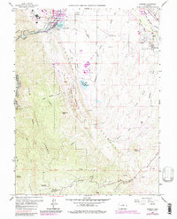
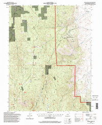
1966 Map of Russellville Gulch
USGS Topo · Published 1968This historical map portrays the area of Russellville Gulch in 1966, primarily covering Douglas County as well as portions of Elbert County. Featuring a scale of 1:24000, this map provides a highly detailed snapshot of the terrain, roads, buildings, counties, and historical landmarks in the Russellville Gulch region at the time. Published in 1968, it is one of 7 known editions of this map due to revisions or reprints.
Find a feature on this map
17 named features on this map. Tap any name to fly to it.
Don’t see what you’re looking for? This feature index may not catch every label — zoom into the map to look around manually.
Map Details
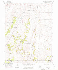
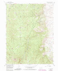
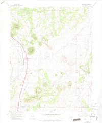
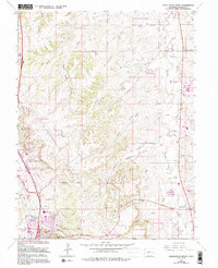
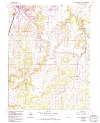
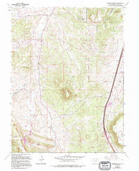
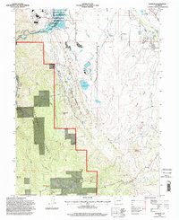
Editions of this 1966 Russellville Gulch Map
7 editions found
Historical Maps of Cimarron Through Time
16 maps found
1893 Platte Canyon
Douglas County, CO
1945 Kassler
Douglas County, CO
1948 Kassler
Douglas County, CO
1954 Cherry Valley School
Douglas County, CO
1954 Devils Head
Douglas County, CO
1954 Greenland
Douglas County, CO
1956 Dakan Mountain
Douglas County, CO
1965 Castle Rock North
Douglas County, CO
1965 Castle Rock South
Douglas County, CO
1965 Dawson Butte
Douglas County, CO
1965 Kassler
Douglas County, CO
1966 Russellville Gulch
Douglas County, CO
1994 Dakan Mountain
Douglas County, CO
1994 Dawson Butte
Douglas County, CO
1994 Devils Head
Douglas County, CO
1994 Kassler
Douglas County, CO