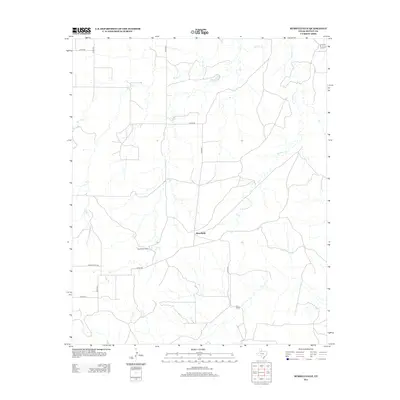
2012 Map of Russellville
USGS Topo · Published 2012About this map
Russellville and the surrounding ranchlands of Motley County are defined by a network of seasonal watercourses and rural roads in this contemporary topographical survey. The drainage systems of Hackberry Cr and Tee Pee Cr wind through the terrain, illustrating the hydrologic patterns essential to Texas panhandle ranching operations. The map documents localized hubs of activity including Russellville Camp and the Bird Ranch, connected by a grid of county roads such as Co RD-441 and Co RD-443. This layout provides an clear view of modern land use in a region where the vast majority of the landscape is dedicated to large-scale agricultural production, accessible via Ranch Road 1045.
Find a feature on this map
14 named features on this map. Tap any name to fly to it.
Don’t see what you’re looking for? This feature index may not catch every label — zoom into the map to look around manually.
Map Details
Editions of this 2012 Russellville Map
This is the sole edition of this map. No revisions or reprints were ever made.
Other maps of this area

1954 · Lubbock
USGS Topo · 1:250,000

1954 · Plainview
USGS Topo · 1:250,000

1958 · Plainview
USGS Topo · 1:250,000

1966 · Matador
USGS Topo · 1:24,000

1966 · Ballard Camp
USGS Topo · 1:24,000

1966 · Tee Pee City
USGS Topo · 1:24,000

1968 · Roaring Springs
USGS Topo · 1:24,000

1968 · Russellville
USGS Topo · 1:24,000

1968 · Dumont
USGS Topo · 1:24,000

1968 · China Canyon
USGS Topo · 1:24,000