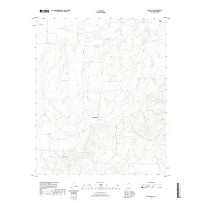
2019 Map of Russellville
USGS Topo · Published 2019About this map
Russellville serves as the central focal point in this sparsely settled region of Motley County, where the high plains begin to break into complex drainage patterns. The landscape is defined by the erosive action of seasonal waterways, most notably Tee Pee Cr and Hackberry Cr, which carve through the terrain to create the deep depressions of Darden Canyon. This survey captures the rural infrastructure of the late 2010s, showing a network of maintained county roads such as Co Rd 441 and Co Rd 408 that connect isolated ranching outposts and agricultural properties. The map reveals how local topography dictates the movement of these routes, which wind along the ridges and valley floors to navigate the significant elevation changes characteristic of this portion of the Texas Panhandle.
Find a feature on this map
12 named features on this map. Tap any name to fly to it.
Don’t see what you’re looking for? This feature index may not catch every label — zoom into the map to look around manually.
Map Details
Editions of this 2019 Russellville Map
This is the sole edition of this map. No revisions or reprints were ever made.
Other maps of this area

1954 · Lubbock
USGS Topo · 1:250,000

1954 · Plainview
USGS Topo · 1:250,000

1958 · Plainview
USGS Topo · 1:250,000

1966 · Matador
USGS Topo · 1:24,000

1966 · Ballard Camp
USGS Topo · 1:24,000

1966 · Tee Pee City
USGS Topo · 1:24,000

1968 · Roaring Springs
USGS Topo · 1:24,000

1968 · Russellville
USGS Topo · 1:24,000

1968 · Dumont
USGS Topo · 1:24,000

1968 · China Canyon
USGS Topo · 1:24,000