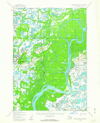
1954 Map of Russian Mission B-5
USGS Topo · Published 1963About this map
The Kuskokwim River dominates this mid-century landscape in the Bethel region, winding through a complex network of sloughs and wetlands. Mapped from aerial photography taken in the early 1950s, the terrain shows a clear reliance on seasonal transport, evidenced by a Winter Trail that parallels the river's eastern bank. Small settlements like Israthorak, Uknavik, and Gweek are positioned near these vital water corridors, reflecting traditional patterns of land use and navigation in the Alaska interior. A Shelter Cabin situated along the river provides a specific point of interest for those studying historical travel routes and survival infrastructure of the era. The intricate mapping of Israthorak Creek and the Gweek River illustrates the seasonally fluid nature of this environment before significant modern development altered these remote drainages.
Find a feature on this map
8 named features on this map. Tap any name to fly to it.
Don’t see what you’re looking for? This feature index may not catch every label — zoom into the map to look around manually.
Map Details
Editions of this 1954 Russian Mission B-5 Map
2 editions found
Other maps of this area

1947 · Russian Mission
USGS Topo · 1:250,000

1950 · Russian Mission
USGS Topo · 1:250,000

1952 · Russian Mission C-5
USGS Topo · 1:63,360
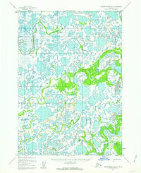
1952 · Russian Mission B-6
USGS Topo · 1:63,360
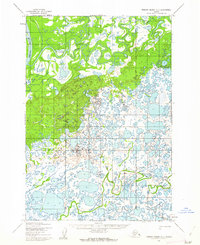
1952 · Russian Mission C-6
USGS Topo · 1:63,360

1954 · Russian Mission A-4
USGS Topo · 1:63,360

1954 · Russian Mission B-5
USGS Topo · 1:63,360

1954 · Russian Mission A-6
USGS Topo · 1:63,360

1954 · Russian Mission A-5
USGS Topo · 1:63,360

1954 · Russian Mission C-4
USGS Topo · 1:63,360