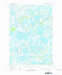
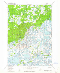
1952 Map of Russian Mission B-7
USGS Topo · Published 1962About this map
The meandering Johnson River dominates this mid-century topographic record, winding through a complex landscape of tundra lakes and wetlands north of Kvichavak. The presence of small settlements like Tundra George, Big Fritz, and Phillips Bros highlights the sparse but established human activity in the region during the early 1950s. These names likely represent family-based trapping or fishing camps positioned along the water's edge for seasonal access. Transport across this watery terrain is anchored by a Winter Trail, reflecting the necessity of frozen ground for overland travel in the Bethel area. The map illustrates a transitional period where land lines were predetermined by the Bureau of Land Management but remained largely unsurveyed and unmarked on the ground, leaving the natural waterways as the primary geographic landmarks for navigation.
Find a feature on this map
6 named features on this map. Tap any name to fly to it.
Don’t see what you’re looking for? This feature index may not catch every label — zoom into the map to look around manually.
Map Details
Editions of this 1952 Russian Mission B-7 Map
2 editions found
Other maps of this area

1947 · Russian Mission
USGS Topo · 1:250,000

1950 · Russian Mission
USGS Topo · 1:250,000

1952 · Russian Mission C-8
USGS Topo · 1:63,360
1952 · Russian Mission C-7
USGS Topo · 1:63,360
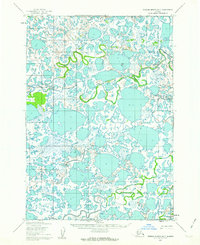
1952 · Russian Mission B-7
USGS Topo · 1:63,360
1952 · Russian Mission B-6
USGS Topo · 1:63,360

1952 · Russian Mission B-8
USGS Topo · 1:63,360
1952 · Russian Mission C-6
USGS Topo · 1:63,360

1954 · Russian Mission A-6
USGS Topo · 1:63,360

1954 · Russian Mission A-8
USGS Topo · 1:63,360