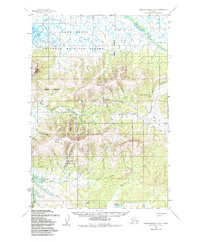
1952 Map of Russian Mission D-8
USGS Topo · Published 1986About this map
Yukon Delta National Wildlife Refuge dominates the northern and western reaches of this landscape, where the flat lowlands of the delta meet the rising elevations of the Kusilvak region. The interaction between the intricate drainage systems and higher ground is evident as Kuyukutuk River meanders toward the north while numerous smaller streams like Surprise Creek and Disappointment Creek carve through the central hills.
Find a feature on this map
29 named features on this map. Tap any name to fly to it.
Don’t see what you’re looking for? This feature index may not catch every label — zoom into the map to look around manually.
Map Details
Editions of this 1952 Russian Mission D-8 Map
2 editions found
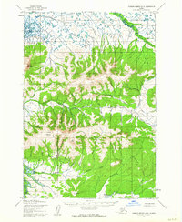
Other maps of this area

1947 · Russian Mission
USGS Topo · 1:250,000

1950 · Russian Mission
USGS Topo · 1:250,000

1951 · Marshall
USGS Topo · 1:250,000

1951 · Holy Cross
USGS Topo · 1:250,000

1952 · Kwiguk
USGS Topo · 1:250,000

1952 · Kwiguk A-1
USGS Topo · 1:63,360

1952 · Holy Cross A-6
USGS Topo · 1:63,360

1952 · Holy Cross
USGS Topo · 1:250,000

1952 · Russian Mission C-8
USGS Topo · 1:63,360
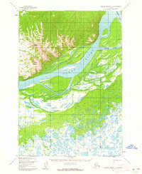
1952 · Russian Mission C-7
USGS Topo · 1:63,360