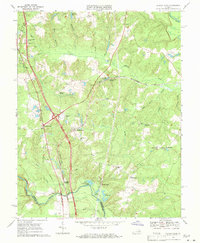
1969 Map of Ruther Glen
USGS Topo · Published 1971About this map
The North Anna River defines the southern boundary of this Caroline County landscape as it appeared in the late 1960s. The region is characterized by a network of crossroads settlements and family landmarks such as McBryant Corner and Patersons Corner. Significant transport infrastructure is evident, including the active Richmond Fredericksburg and Potomac rail line and an abandoned Old Railroad Grade further south. Local history is anchored by several rural congregations, most notably Carmel Church and St Pauls Ch. Of particular interest to historical researchers is the Civil War Fort located near Fox Bridge along the river, indicating the area's strategic importance during the 19th century. The northern portion of the sheet shows the transition from timbered wetlands like Saddle Swamp to the upland terrain around Ruther Glen.
Find a feature on this map
52 named features on this map. Tap any name to fly to it.
Don’t see what you’re looking for? This feature index may not catch every label — zoom into the map to look around manually.
Map Details
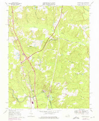
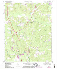
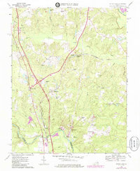
Editions of this 1969 Ruther Glen Map
4 editions found
Other maps of this area

1887 · Spottsylvania
USGS Topo · 1:125,000

1889 · Fredericksburg
USGS Topo · 1:125,000

1890 · Goochland
USGS Topo · 1:125,000

1892 · Fredericksburg
USGS Topo · 1:125,000

1892 · Spottsylvania
USGS Topo · 1:125,000

1892 · Goochland
USGS Topo · 1:125,000

1894 · Fredericksburg
USGS Topo · 1:125,000

1918 · Doswell
USGS Topo · 1:62,500

1942 · Bowling Green
USGS Topo · 1:31,680

1942 · Woodford
USGS Topo · 1:31,680