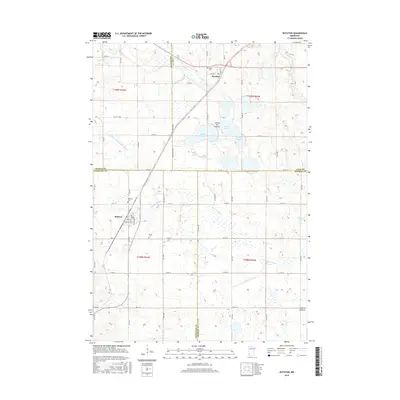
2016 Map of Ruthton
USGS Topo · Published 2016About this map
The Coteau des Prairies upland plateau dominates this southwestern Minnesota landscape, where four counties converge at the intersection of Pipestone, Murray, Lincoln, and Lyon. The village of Ruthton serves as a primary hub, organized around Main St and Cleveland St, while the smaller settlement of Florence sits further north along the Co Rd 51 corridor.
Find a feature on this map
63 named features on this map. Tap any name to fly to it.
Don’t see what you’re looking for? This feature index may not catch every label — zoom into the map to look around manually.
Map Details
Editions of this 2016 Ruthton Map
This is the sole edition of this map. No revisions or reprints were ever made.
Other maps of this area
1953 · Watertown
USGS Topo · 1:250,000
1953 · New Ulm
USGS Topo · 1:250,000
1957 · New Ulm
USGS Topo · 1:250,000
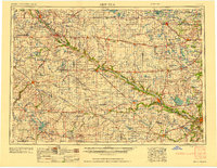
1958 · New Ulm
USGS Topo · 1:250,000
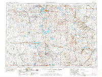
1958 · Watertown
USGS Topo · 1:250,000
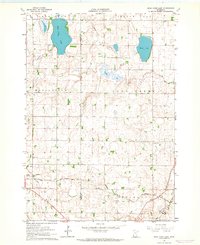
1963 · Dead Coon Lake
USGS Topo · 1:24,000
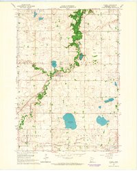
1963 · Russell
USGS Topo · 1:24,000
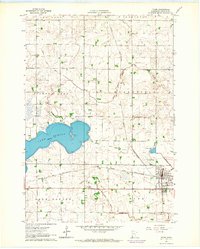
1963 · Tyler
USGS Topo · 1:24,000
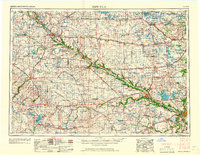
1967 · New Ulm
USGS Topo · 1:250,000
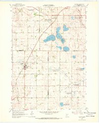
1967 · Ruthton
USGS Topo · 1:24,000