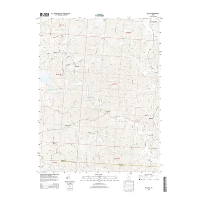
2013 Map of Rutland
USGS Topo · Published 2013About this map
Leading Creek carves a winding path through this portion of Meigs County, serving as the primary drainage for a landscape dotted with small hamlets and numerous family burial grounds. The industrial footprint of the region is centered on the Meigs Mine Number One, which includes a dedicated Water Supply Reservoir to support operations. Settlements such as Harrisonville, Langsville, and Dexter are connected by a network of rural routes including Oh-124 and Cleland Hill Rd, reflecting a traditional Appalachian Ohio settlement pattern where homes and small post offices follow the narrow valley floors.
Find a feature on this map
146 named features on this map. Tap any name to fly to it.
Don’t see what you’re looking for? This feature index may not catch every label — zoom into the map to look around manually.
Map Details
Editions of this 2013 Rutland Map
This is the sole edition of this map. No revisions or reprints were ever made.
Other maps of this area

1905 · Wilkesville
USGS Topo · 1:62,500

1906 · Bidwell
USGS Topo · 1:62,500

1907 · Pomeroy
USGS Topo · 1:62,500

1908 · Bidwell
USGS Topo · 1:62,500

1908 · Point Pleasant
USGS Topo · 1:62,500

1908 · Wilkesville
USGS Topo · 1:62,500

1926 · Point Pleasant
USGS Topo · 1:62,500

1929 · Point Pleasant
USGS Topo · 1:62,500

1947 · Columbus
USGS Topo · 1:250,000

1957 · Huntington
USGS Topo · 1:250,000