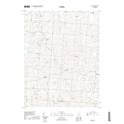
2019 Map of Rutland
USGS Topo · Published 2019About this map
Leading Creek and its tributaries, including Mud Fork and Little Leading Creek, carve a intricate drainage pattern through this Meigs County landscape. Small rural communities like Harrisonville, Dexter, and Langsville are connected by a dense network of township and county roads, such as County Highway 10 and Longstretch Cemetery Road. The map reveals a high concentration of small family and community burial grounds, including Vonschritz Cemetery, Hugg Cemetery, and Coy Hill Cemetery, which serve as vital landmarks for local genealogical research.
Find a feature on this map
109 named features on this map. Tap any name to fly to it.
Don’t see what you’re looking for? This feature index may not catch every label — zoom into the map to look around manually.
Map Details
Editions of this 2019 Rutland Map
This is the sole edition of this map. No revisions or reprints were ever made.
Other maps of this area

1905 · Wilkesville
USGS Topo · 1:62,500

1906 · Bidwell
USGS Topo · 1:62,500

1907 · Pomeroy
USGS Topo · 1:62,500

1908 · Bidwell
USGS Topo · 1:62,500

1908 · Point Pleasant
USGS Topo · 1:62,500

1908 · Wilkesville
USGS Topo · 1:62,500

1926 · Point Pleasant
USGS Topo · 1:62,500

1929 · Point Pleasant
USGS Topo · 1:62,500

1947 · Columbus
USGS Topo · 1:250,000

1957 · Huntington
USGS Topo · 1:250,000