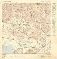
1949 Map of Sabana Grande SE
USGS Topo · Published 1949About this map
The Valle de Lajas floor transitions into the southern foothills of the Cordillera Central on this mid-century topographic survey. Dominating the lower landscape, the Laguna de Guanica and its adjacent Ciénaga illustrate the hydrological state of the region before modern drainage and development significantly altered the basin. Agriculture and transportation are central to the settlement pattern, highlighted by the American RR of Porto Rico and the narrow-gauge lines of the Central Guánica sugar network.
Find a feature on this map
40 named features on this map. Tap any name to fly to it.
Don’t see what you’re looking for? This feature index may not catch every label — zoom into the map to look around manually.
Map Details
Editions of this 1949 Sabana Grande SE Map
This is the sole edition of this map. No revisions or reprints were ever made.
Other maps of this area

1937 · Sabana Grande
USGS Topo · 1:25,000

1938 · Guanica
USGS Topo · 1:30,000

1941 · Sabana Grande
USGS Topo · 1:30,000

1946 · Yauco
USGS Topo · 1:30,000

1946 · Punta Verraco
USGS Topo · 1:30,000
1947 · Yauco SO
USGS Topo · 1:10,000
1947 · Yauco NO
USGS Topo · 1:10,000
1949 · Sabana Grande NE
USGS Topo · 1:10,000
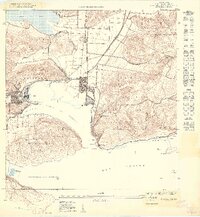
1949 · Guanica NE
USGS Topo · 1:10,000
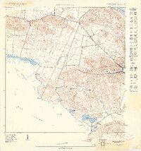
1949 · Guanica
USGS Topo · 1:10,000
Featured Places
- Sector Río Loco, Yauco
- Sector El Puente, Sabana Grande
- Sector Papayo, Sabana Grande
- Yauco
- Susúa Alta, Yauco