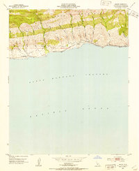
1953 Map of Sacate
USGS Topo · Published 1954About this map
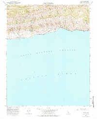
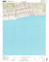
The Santa Ynez Mountains rise abruptly from the Pacific Ocean along this stretch of the Gaviota Coast in the early 1950s. The landscape is defined by the Nuestra Señora Del Refugio land grant, where deep canyons—locally labeled as cañadas—drain toward the Santa Barbara Channel. This rugged geography restricted development to a narrow coastal terrace, occupied by the Southern Pacific railroad and small railside settlements.
Find a feature on this map
34 named features on this map. Tap any name to fly to it.
Don’t see what you’re looking for? This feature index may not catch every label — zoom into the map to look around manually.
Map Details
Editions of this 1953 Sacate Map
6 editions found
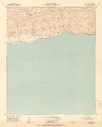
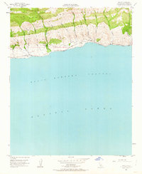
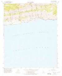
Other maps of this area

1905 · Lompoc
USGS Topo · 1:125,000

1942 · Lompoc
USGS Topo · 1:125,000

1942 · Lompoc
USGS Topo · 1:62,500

1942 · Pt. Conception
USGS Topo · 1:62,500

1942 · Gaviota
USGS Topo · 1:62,500

1942 · Los Olivos
USGS Topo · 1:62,500

1943 · Los Olivos
USGS Topo · 1:62,500

1943 · Lompoc
USGS Topo · 1:125,000

1943 · Gaviota
USGS Topo · 1:62,500

1947 · Gaviota
USGS Topo · 1:62,500