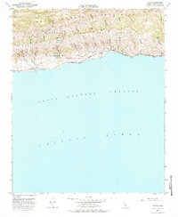
1953 Map of Sacate
USGS Topo · Published 1985About this map
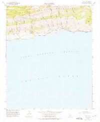
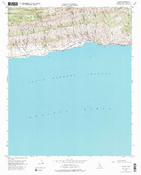
The Santa Ynez Mountains rise sharply from the Pacific coastline in this mid-century survey, creating a landscape defined by deep ravines known as cañadas. Along the narrow coastal shelf, the Southern Pacific railroad follows the shore, serving small coastal points such as San Augustine and Sacate. This area reflects the transition from early Spanish land grant territories like Nuestra Señora Del Refugio and San Julian into the mid-twentieth century ranching era. Land use is centered around operations like the Santa Anita Ranch, while numerous watercourses including Cañada de Santa Anita and Cañada del Cementerio drain the southern slopes of the mountains into the Santa Barbara Channel. The map illustrates a period before significant modern coastal development, where transport and settlement were strictly dictated by the steep topography.
Find a feature on this map
35 named features on this map. Tap any name to fly to it.
Don’t see what you’re looking for? This feature index may not catch every label — zoom into the map to look around manually.
Map Details
Editions of this 1953 Sacate Map
6 editions found
Other maps of this area

1905 · Lompoc
USGS Topo · 1:125,000

1942 · Lompoc
USGS Topo · 1:125,000

1942 · Lompoc
USGS Topo · 1:62,500

1942 · Pt. Conception
USGS Topo · 1:62,500

1942 · Gaviota
USGS Topo · 1:62,500

1942 · Los Olivos
USGS Topo · 1:62,500

1943 · Los Olivos
USGS Topo · 1:62,500

1943 · Lompoc
USGS Topo · 1:125,000

1943 · Gaviota
USGS Topo · 1:62,500

1947 · Gaviota
USGS Topo · 1:62,500