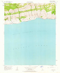
1953 Map of Sacate
USGS Topo · Published 1963About this map
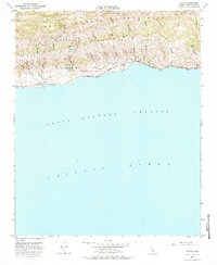
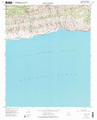
The Santa Ynez Mountains descend sharply to meet the Santa Barbara Channel along this coastal stretch of Southern California in the early 1950s. The landscape is defined by the steep southern slopes of the Nuestra Señora Del Refugio land grant, carved by numerous steep canyons such as Cañada de Santa Anita and Cañada del Sacate. Human presence is concentrated along the narrow coastal shelf, where the Southern Pacific railroad tracks hug the shoreline, connecting small coastal points like Sacate, Drake, and San Augustine. Inland, the terrain remains primarily agricultural and undeveloped, marked by sites like the Santa Anita Ranch and a remote Sulphur Well. This era captures the Gaviota Coast before significant modern highway expansion, showing the intricate network of canyons and arroyos, including Arroyo El Bulito, that dictate the movement of both water and early coastal transit.
Find a feature on this map
33 named features on this map. Tap any name to fly to it.
Don’t see what you’re looking for? This feature index may not catch every label — zoom into the map to look around manually.
Map Details
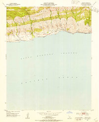
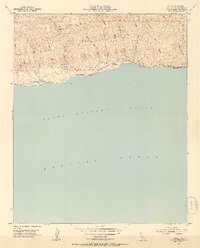
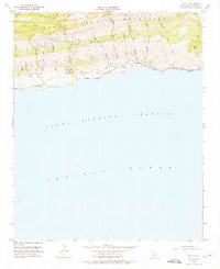
Editions of this 1953 Sacate Map
6 editions found
Other maps of this area

1905 · Lompoc
USGS Topo · 1:125,000

1942 · Lompoc
USGS Topo · 1:125,000

1942 · Lompoc
USGS Topo · 1:62,500

1942 · Pt. Conception
USGS Topo · 1:62,500

1942 · Gaviota
USGS Topo · 1:62,500

1942 · Los Olivos
USGS Topo · 1:62,500

1943 · Los Olivos
USGS Topo · 1:62,500

1943 · Lompoc
USGS Topo · 1:125,000

1943 · Gaviota
USGS Topo · 1:62,500

1947 · Gaviota
USGS Topo · 1:62,500