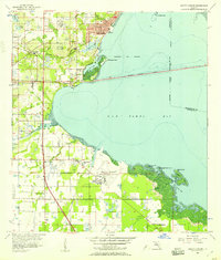
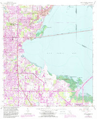
1956 Map of Safety Harbor
USGS Topo · Published 1957About this map
Safety Harbor sits at the northern edge of Old Tampa Bay, serving as a focal point for this mid-century look at Pinellas County's eastern shoreline. The landscape is defined by its transition from citrus groves and open land to suburban infrastructure, evidenced by the expansive Pinellas County International Airport and several sandpits scattered throughout the area. Vital transit links like the Courtney Campbell Parkway and the Seaboard Air Line railroad anchor the region, while smaller communities like Coachman, Dellwood, and High Point show the early stages of post-war development.
Find a feature on this map
40 named features on this map. Tap any name to fly to it.
Don’t see what you’re looking for? This feature index may not catch every label — zoom into the map to look around manually.
Map Details
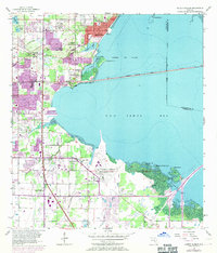
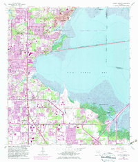
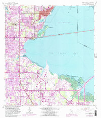
Editions of this 1956 Safety Harbor Map
5 editions found
Other maps of this area

1921 · Sand Key
USGS Topo · 1:62,500

1921 · St Petersburg
USGS Topo · 1:62,500

1943 · St Petersburg
USGS Topo · 1:31,680

1943 · Gandy Bridge
USGS Topo · 1:31,680

1943 · Bay Pines
USGS Topo · 1:31,680

1943 · Safety Harbor
USGS Topo · 1:31,680

1943 · Dunedin
USGS Topo · 1:31,680

1943 · Port Tampa
USGS Topo · 1:31,680

1943 · Clearwater
USGS Topo · 1:24,000

1943 · Oldsmar
USGS Topo · 1:24,000