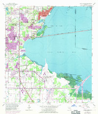
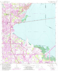
1956 Map of Safety Harbor
USGS Topo · Published 1971About this map
Safety Harbor and the surrounding coastline of Old Tampa Bay reflect the mid-century expansion of Florida's Gulf Coast infrastructure. This 1956 map, photorevised in 1969, illustrates a transition from established settlements like Coachman and Dellwood to the burgeoning industrial and transportation hubs that defined the era. The presence of the St Petersburg-Clearwater International Airport and the spanning Courtney Campbell Parkway signal the region's increasing connectivity. Genealogists and local historians can trace familial sites such as McMullen Cem and the Sylvan Abbey Memorial Park Cemetery, alongside smaller communities like Four Corners and High Point. The landscape is a mosaic of natural inlets like Cooper Bayou and modified terrain, including several marked Sandpit operations, highlighting the development occurring alongside the Seaboard Coast Line rail corridor.
Find a feature on this map
35 named features on this map. Tap any name to fly to it.
Don’t see what you’re looking for? This feature index may not catch every label — zoom into the map to look around manually.
Map Details
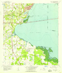
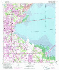
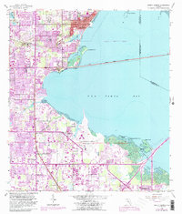
Editions of this 1956 Safety Harbor Map
5 editions found
Other maps of this area

1921 · Sand Key
USGS Topo · 1:62,500

1921 · St Petersburg
USGS Topo · 1:62,500

1943 · St Petersburg
USGS Topo · 1:31,680

1943 · Gandy Bridge
USGS Topo · 1:31,680

1943 · Bay Pines
USGS Topo · 1:31,680

1943 · Safety Harbor
USGS Topo · 1:31,680

1943 · Dunedin
USGS Topo · 1:31,680

1943 · Port Tampa
USGS Topo · 1:31,680

1943 · Clearwater
USGS Topo · 1:24,000

1943 · Oldsmar
USGS Topo · 1:24,000