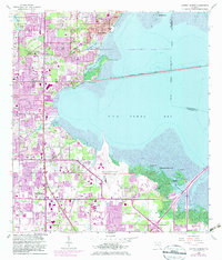
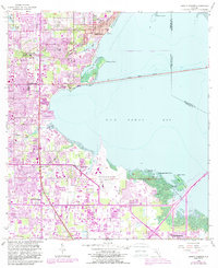
1956 Map of Safety Harbor
USGS Topo · Published 1982About this map
The western shores of Old Tampa Bay define this mid-century landscape, capturing a period of significant coastal expansion in Pinellas County. Safety Harbor sits at the northern edge, overlooking the waters of Alligator Lake and the nearby McMullen Cem. The map illustrates the region's evolving infrastructure, featuring the Courtney Campbell Parkway spanning the bay and the Seaboard Coast Line railroad cutting through the citrus and residential tracts of Coachman. Extensive purple overprinting reveals the rapid urban growth of the late 1970s and early 1980s, particularly around the St Petersburg-Clearwater International Airport and the crossroads at High Point. From the legacy grounds of Sylvan Abbey Memorial Park Cemetery to the industrial nodes near Cross Bayou, the document provides a clear record of Florida's transition from a rail-and-water economy toward modern suburban development.
Find a feature on this map
40 named features on this map. Tap any name to fly to it.
Don’t see what you’re looking for? This feature index may not catch every label — zoom into the map to look around manually.
Map Details
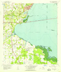
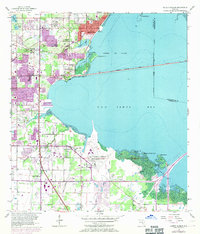
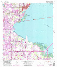
Editions of this 1956 Safety Harbor Map
5 editions found
Other maps of this area

1921 · Sand Key
USGS Topo · 1:62,500

1921 · St Petersburg
USGS Topo · 1:62,500

1943 · St Petersburg
USGS Topo · 1:31,680

1943 · Gandy Bridge
USGS Topo · 1:31,680

1943 · Bay Pines
USGS Topo · 1:31,680

1943 · Safety Harbor
USGS Topo · 1:31,680

1943 · Dunedin
USGS Topo · 1:31,680

1943 · Port Tampa
USGS Topo · 1:31,680

1943 · Clearwater
USGS Topo · 1:24,000

1943 · Oldsmar
USGS Topo · 1:24,000