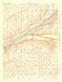
1928 Map of Sag Bridge
USGS Topo · Published 1928About this map
The Chicago Sanitary and Ship Canal and the older Illinois and Michigan Canal cut a deep industrial corridor through the Des Plaines River valley, framing the development of Lemont and the surrounding townships. This 1920s landscape is defined by the dense convergence of transportation infrastructure, where the Chicago and Alton RR and the Atchison Topeka and Santa Fe RR parallel the waterways. Beyond the river bluffs, the terrain transitions into a patchwork of rural school districts and small settlements like Byrneville and Hastings. Local history and genealogy are anchored by several landmarks, including the Visitation Boys Camp, the Palos Golf Club, and numerous burial grounds such as Fairmont Cemetery and Lower Cass Cemetery. The map also captures several rural educational sites, including Derby School and Gower School, during an era when the Chicago and Joliet Electric Line still linked these communities.
Find a feature on this map
62 named features on this map. Tap any name to fly to it.
Don’t see what you’re looking for? This feature index may not catch every label — zoom into the map to look around manually.
Map Details
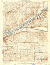
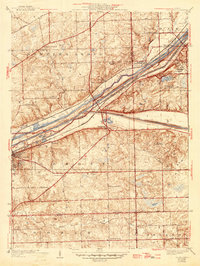
Editions of this 1928 Sag Bridge Map
4 editions found

Other maps of this area

1890 · Des Plaines
USGS Topo · 1:62,500

1891 · Riverside
USGS Topo · 1:62,500

1892 · Joliet
USGS Topo · 1:62,500

1893 · Riverside
USGS Topo · 1:62,500

1894 · Des Plaines
USGS Topo · 1:62,500

1900 · Des Plaines
USGS Topo · 1:62,500

1900 · Riverside
USGS Topo · 1:62,500

1901 · Des Plaines
USGS Topo · 1:62,500

1901 · Riverside
USGS Topo · 1:62,500

1908 · Wheaton
USGS Topo · 1:62,500