
1928 Map of Sag Bridge
USGS Topo · Published 1928About this map
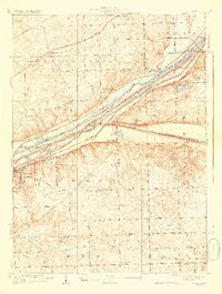
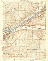
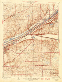
The Des Plaines River corridor serves as the industrial and transit backbone of this 1920s landscape, where three major waterways—the Chicago Sanitary and Ship Canal, the Illinois and Michigan Canal, and the river itself—parallel the Atchison Topeka and Santa Fe Railway. This dense corridor of infrastructure cuts through the rolling topography of Lemont and Downers Grove, illustrating the heavy engineering required to link the Great Lakes with the Mississippi watershed.
Find a feature on this map
55 named features on this map. Tap any name to fly to it.
Don’t see what you’re looking for? This feature index may not catch every label — zoom into the map to look around manually.
Map Details
Editions of this 1928 Sag Bridge Map
4 editions found
Other maps of this area

1890 · Des Plaines
USGS Topo · 1:62,500

1891 · Riverside
USGS Topo · 1:62,500

1892 · Joliet
USGS Topo · 1:62,500

1893 · Riverside
USGS Topo · 1:62,500

1894 · Des Plaines
USGS Topo · 1:62,500

1900 · Des Plaines
USGS Topo · 1:62,500

1900 · Riverside
USGS Topo · 1:62,500

1901 · Des Plaines
USGS Topo · 1:62,500

1901 · Riverside
USGS Topo · 1:62,500

1908 · Wheaton
USGS Topo · 1:62,500