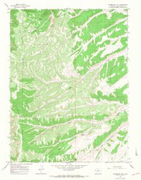
1964 Map of Sagebrush Hill
USGS Topo · Published 1968About this map
Cathedral Bluffs dominate the western edge of this Rio Blanco County landscape, dropping sharply into a complex network of draws and ridges shaped by the Big Duck Creek drainage. The map records the infrastructure of the mid-1960s livestock and recreation economy, featuring localized seasonal sites such as the Beard Cow Camp in the north and the S-C Hunting Club tucked into the southeastern gulches. Evidence of 20th-century resource exploration is visible through scattered Drill Hole locations and a dedicated Pipeline corridor running across the southern reaches.
Find a feature on this map
28 named features on this map. Tap any name to fly to it.
Don’t see what you’re looking for? This feature index may not catch every label — zoom into the map to look around manually.
Map Details
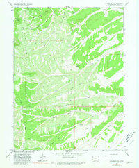
Editions of this 1964 Sagebrush Hill Map
2 editions found
Other maps of this area

1907 · Rangely
USGS Topo · 1:125,000

1907 · White River
USGS Topo · 1:125,000

1910 · White River
USGS Topo · 1:125,000

1910 · Rangely
USGS Topo · 1:125,000

1952 · Wolf Ridge
USGS Topo · 1:24,000

1952 · Yankee Gulch
USGS Topo · 1:24,000

1954 · Vernal
USGS Topo · 1:250,000

1956 · Grand Junction
USGS Topo · 1:250,000

1958 · Vernal
USGS Topo · 1:250,000

1959 · Grand Junction
USGS Topo · 1:250,000