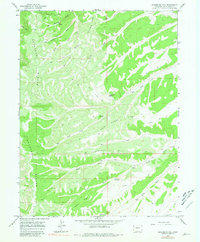
1964 Map of Sagebrush Hill
USGS Topo · Published 1981About this map
Cathedral Bluffs dominate the western horizon of this Rio Blanco County terrain, marking a dramatic shift in the landscape where high ridges descend into a complex network of canyons and draws. In the mid-1960s, this area of the Sagebrush Hill quadrangle was characterized by its cattle ranching and seasonal hunting activity, evidenced by the presence of Beard Cow Camp near Calamity Ridge and the S.C. Hunting Club to the southeast. Water sources were critical in this environment, with named points such as Maverick Spring, Cottonwood Spring, and Lem Springs supporting livestock and wildlife across the drainage basins of Big Duck Creek and Little Duck Creek. A network of Jeep Trails provides the primary access through the ridges, including Dead Horse Ridge and Airplane Ridge, reflecting the practical navigation of this high-plateau country before modern development.
Find a feature on this map
25 named features on this map. Tap any name to fly to it.
Don’t see what you’re looking for? This feature index may not catch every label — zoom into the map to look around manually.
Map Details
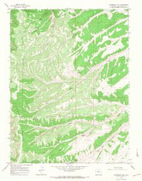
Editions of this 1964 Sagebrush Hill Map
2 editions found
Other maps of this area

1907 · Rangely
USGS Topo · 1:125,000

1907 · White River
USGS Topo · 1:125,000

1910 · White River
USGS Topo · 1:125,000

1910 · Rangely
USGS Topo · 1:125,000

1952 · Wolf Ridge
USGS Topo · 1:24,000

1952 · Yankee Gulch
USGS Topo · 1:24,000

1954 · Vernal
USGS Topo · 1:250,000

1956 · Grand Junction
USGS Topo · 1:250,000

1958 · Vernal
USGS Topo · 1:250,000

1959 · Grand Junction
USGS Topo · 1:250,000