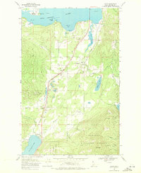
1968 Map of Sagle
USGS Topo · Published 1971About this map
Pend Oreille River and its varied coastline define this Idaho landscape, where the Northern Pacific railroad corridor serves as the primary artery for a string of small settlements. Towns such as Sagle, Algoma, and Westmond are situated along this rail line, reflecting a development pattern shaped by transport and the water’s edge. The presence of the State Fish Hatchery at Murphy Bay and numerous gravel pits suggests a local economy tied to the land and water resources, while the Westmond Cem offers a primary point of interest for those researching local family histories.
Find a feature on this map
41 named features on this map. Tap any name to fly to it.
Don’t see what you’re looking for? This feature index may not catch every label — zoom into the map to look around manually.
Map Details
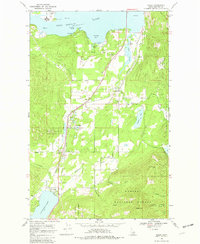
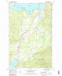
Editions of this 1968 Sagle Map
3 editions found
Other maps of this area

1901 · Sandpoint
USGS Topo · 1:125,000

1911 · Priest Lake
USGS Topo · 1:250,000

1911 · Sandpoint
USGS Topo · 1:125,000

1913 · Priest Lake
USGS Topo · 1:250,000

1949 · Packsaddle Mtn
USGS Topo · 1:62,500

1951 · Packsaddle Mtn
USGS Topo · 1:62,500

1951 · Elmira
USGS Topo · 1:62,500

1958 · Sandpoint
USGS Topo · 1:250,000

1963 · Sandpoint
USGS Topo · 1:250,000
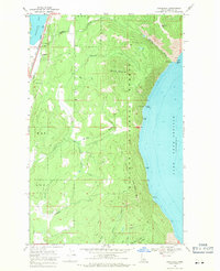
1968 · Cocolalla
USGS Topo · 1:24,000