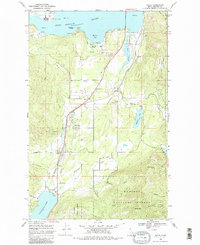
1968 Map of Sagle
USGS Topo · Published 1982About this map
The Northern Pacific railroad line anchors the geography of this Bonner County region, tracing a corridor between the Pend Oreille River and Cocolalla Lake. Small settlements like Sagle, Algoma, and Dufort dot the railway route, reflecting a mid-century landscape defined by transportation and timber access. Local industry and infrastructure are represented by several gravel pits and the Hope and Faith Shaft on the slopes of the Kaniksu National Forest, while the State Fish Hatchery near Murphy Bay highlights the importance of the local watershed.
Find a feature on this map
34 named features on this map. Tap any name to fly to it.
Don’t see what you’re looking for? This feature index may not catch every label — zoom into the map to look around manually.
Map Details
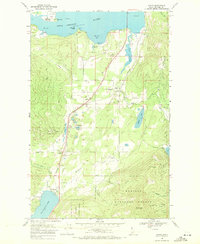
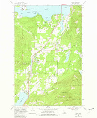
Editions of this 1968 Sagle Map
3 editions found
Other maps of this area

1901 · Sandpoint
USGS Topo · 1:125,000

1911 · Priest Lake
USGS Topo · 1:250,000

1911 · Sandpoint
USGS Topo · 1:125,000

1913 · Priest Lake
USGS Topo · 1:250,000

1949 · Packsaddle Mtn
USGS Topo · 1:62,500

1951 · Packsaddle Mtn
USGS Topo · 1:62,500

1951 · Elmira
USGS Topo · 1:62,500

1958 · Sandpoint
USGS Topo · 1:250,000

1963 · Sandpoint
USGS Topo · 1:250,000
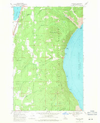
1968 · Cocolalla
USGS Topo · 1:24,000