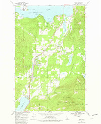
1968 Map of Sagle
USGS Topo · Published 1982About this map
The Northern Pacific railroad corridor anchors this survey of Bonner County, tracing a north-south path through the Idaho panhandle and connecting several rural rail stops. Small settlements like Sagle, Algoma, Dufort, and Westmond appear as vital nodes along the tracks, interspersed with numerous Gravel Pits that suggest the region's industrial and infrastructure activity in the late 1960s.
Find a feature on this map
38 named features on this map. Tap any name to fly to it.
Don’t see what you’re looking for? This feature index may not catch every label — zoom into the map to look around manually.
Map Details
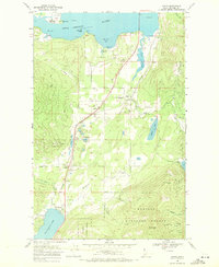
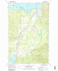
Editions of this 1968 Sagle Map
3 editions found
Other maps of this area

1901 · Sandpoint
USGS Topo · 1:125,000

1911 · Priest Lake
USGS Topo · 1:250,000

1911 · Sandpoint
USGS Topo · 1:125,000

1913 · Priest Lake
USGS Topo · 1:250,000

1949 · Packsaddle Mtn
USGS Topo · 1:62,500

1951 · Packsaddle Mtn
USGS Topo · 1:62,500

1951 · Elmira
USGS Topo · 1:62,500

1958 · Sandpoint
USGS Topo · 1:250,000

1963 · Sandpoint
USGS Topo · 1:250,000
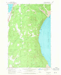
1968 · Cocolalla
USGS Topo · 1:24,000