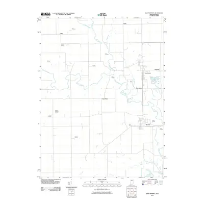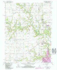
1966 Map of Saint Bernice
USGS Topo · Published 1987About this map
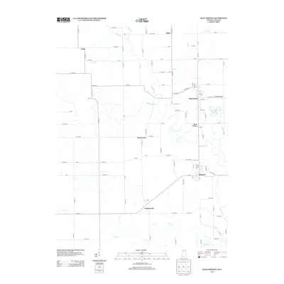
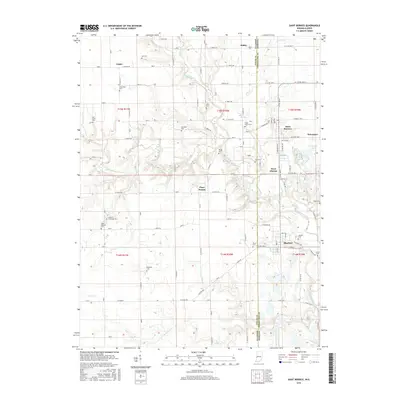
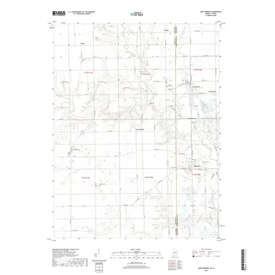
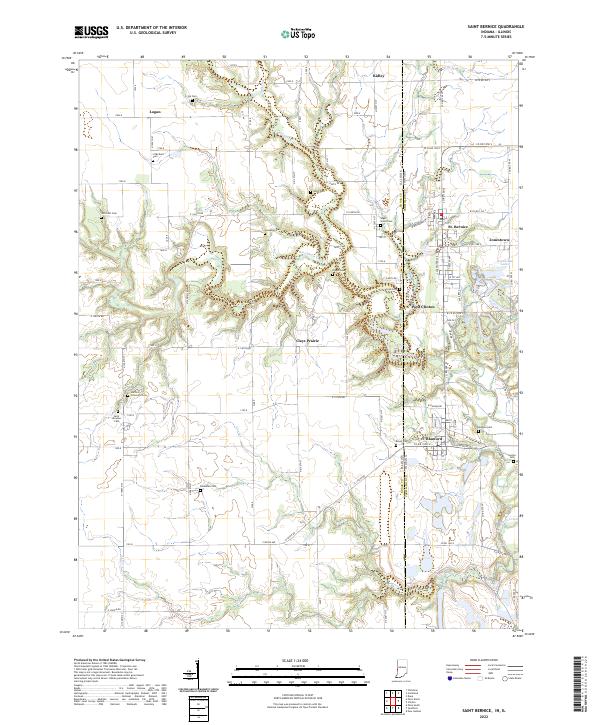
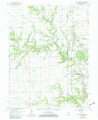
Brouilletts Creek winds across the landscape of the Illinois and Indiana border, anchoring a region defined by small rail-side settlements and rural homesteads in the mid-1960s. The community of Saint Bernice serves as a central hub, while smaller hamlets like Jonestown and Blanford follow the path of the Railroad. Evidence of the area's industrial and agricultural history is scattered throughout, notably at the Shirkie Mine Pond in the south and the numerous family-named burial grounds like Old Scott Cem and Stafford-Simmons Cem that provide a record of early residents in Hunter and Clinton townships. The map's 1980s photorevisions highlight modern infrastructure changes, such as the Substation near the state line, while the presence of churches like St Aloysius Ch and Little Grove Ch underscores the established community life of this borderland territory.
Find a feature on this map
39 named features on this map. Tap any name to fly to it.
Don’t see what you’re looking for? This feature index may not catch every label — zoom into the map to look around manually.
Map Details
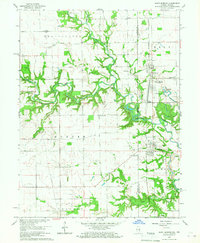
Editions of this 1966 Saint Bernice Map
Historical Maps of Clays Prairie Through Time
6 maps found