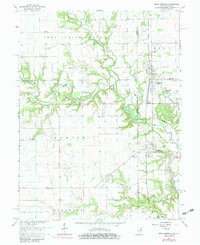
1966 Map of Saint Bernice
USGS Topo · Published 1983About this map
Saint Bernice and the surrounding borderlands of Vermillion County anchor this study of the western Indiana landscape in the mid-1960s. The terrain is defined by the winding course of Brouilletts Creek and its many tributaries, including Goose Creek and Crabapple Creek, which carve through the townships of Helt and Clinton. The Chicago Milwaukee St Paul and Pacific railroad serves as a central artery, connecting settlements like Jonestown and Blanford. This era reveals a transition from traditional agriculture to industrial activity, evidenced by the Sharkie Mine and its associated Sharkie Mine Pond in the southern reaches. Local family history is deeply embedded in the landscape through numerous burial grounds such as Stafford-Simmons Cem, Old Scott Cem, and Houston Cem, alongside community anchors like St Aloysius Ch and Sugar Grove Ch.
Find a feature on this map
42 named features on this map. Tap any name to fly to it.
Don’t see what you’re looking for? This feature index may not catch every label — zoom into the map to look around manually.
Map Details
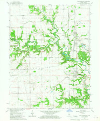
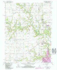
Editions of this 1966 Saint Bernice Map
Other maps of this area

1947 · Ridge Farm
USGS Topo · 1:62,500

1947 · Paris
USGS Topo · 1:62,500

1949 · Paris
USGS Topo · 1:62,500

1950 · New Goshen
USGS Topo · 1:24,000

1950 · Sandford
USGS Topo · 1:24,000

1951 · Clinton
USGS Topo · 1:24,000

1951 · Saint Bernice
USGS Topo · 1:24,000

1953 · Indianapolis
USGS Topo · 1:250,000

1955 · Scottland
USGS Topo · 1:24,000

1955 · Dana
USGS Topo · 1:24,000