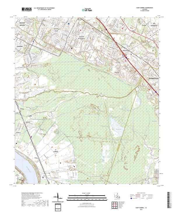
2024 Map of Saint Gabriel
USGS Topo · Published 2024About this map
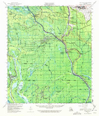
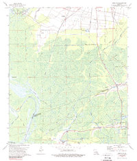
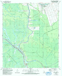
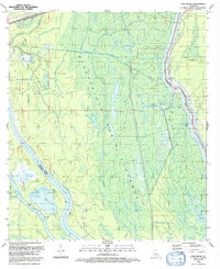
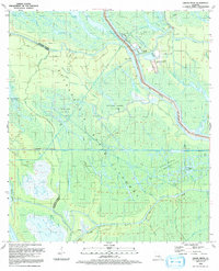
St. Gabriel and the surrounding river lands of the Mississippi River valley are shown here at a point of modern transition. This landscape, where the borders of Iberville Parish, East Baton Rouge Parish, and Ascension Parish meet, is defined by the complex hydrology of the lowlands. Extensive wetlands like Bluff Swamp and Spanish Lake are fed by a network of slow-moving waterways including Bayou Manchac, Bayou Paul, and Bayou Fountain.
Find a feature on this map
191 named features on this map. Tap any name to fly to it.
Don’t see what you’re looking for? This feature index may not catch every label — zoom into the map to look around manually.
Map Details
Editions of this 2024 Saint Gabriel Map
This is the sole edition of this map. No revisions or reprints were ever made.
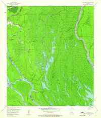
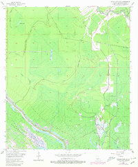
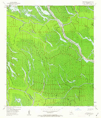
Historical Maps of Oak Hills Through Time
23 maps found

1935 Chicot Lake
Iberville Parish, LA

1935 Osca Bayou
Iberville Parish, LA
1953 Cow Bayou
Iberville Parish, LA
1953 Grosse Tete SW
Iberville Parish, LA
1953 Pigeon Bay
Iberville Parish, LA

1954 Chicot Lake
Iberville Parish, LA

1955 Chicot Lake
Iberville Parish, LA

1955 Osca Bayou
Iberville Parish, LA
1959 Lake Chicot
Iberville Parish, LA
1969 Bayou Sorrel
Iberville Parish, LA
1969 Cow Bayou
Iberville Parish, LA
1969 Grand River
Iberville Parish, LA
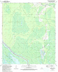
1974 Lone Star
Iberville Parish, LA
1992 Bayou Sorrel
Iberville Parish, LA
1992 Cow Bayou
Iberville Parish, LA
1992 Grand River
Iberville Parish, LA
1992 Grosse Tete SW
Iberville Parish, LA
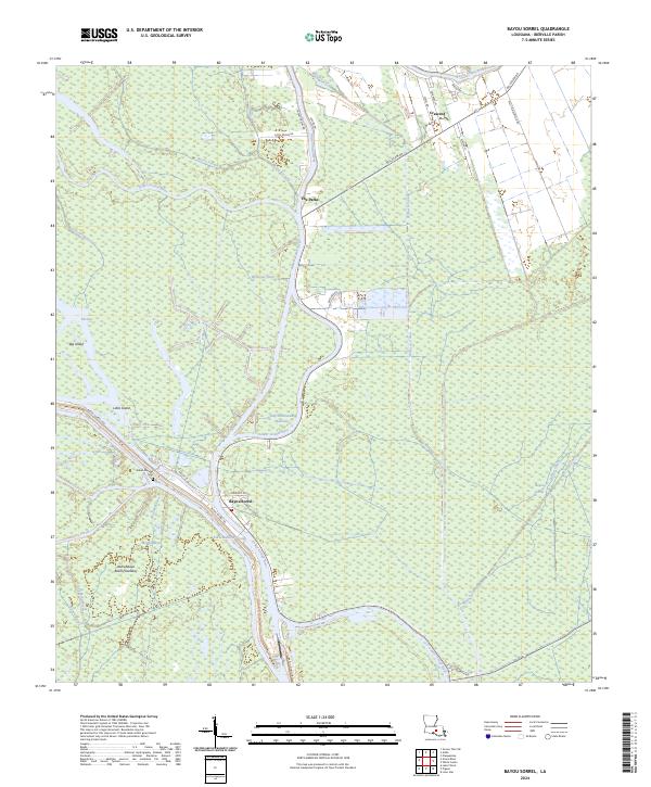
2024 Bayou Sorrel
Iberville Parish, LA
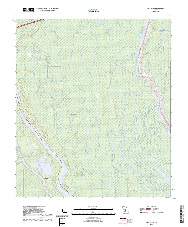
2024 Cow Bayou
Iberville Parish, LA
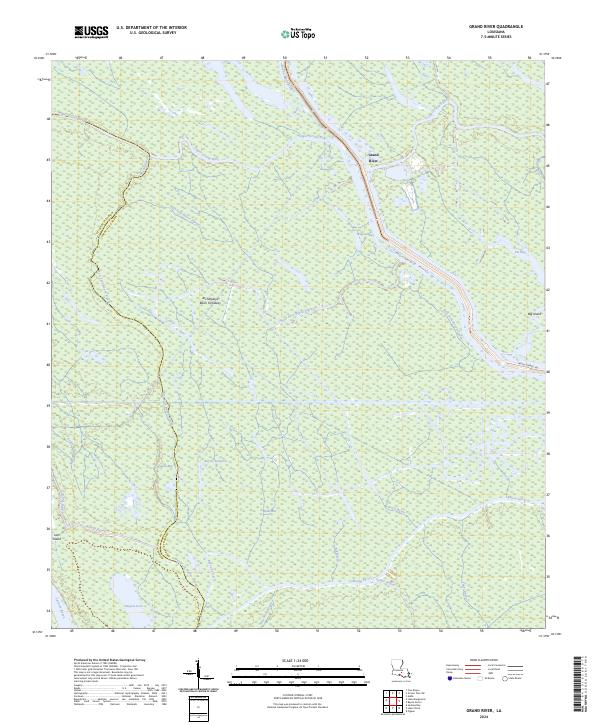
2024 Grand River
Iberville Parish, LA
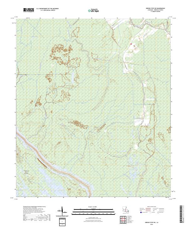
2024 Grosse Tete SW
Iberville Parish, LA
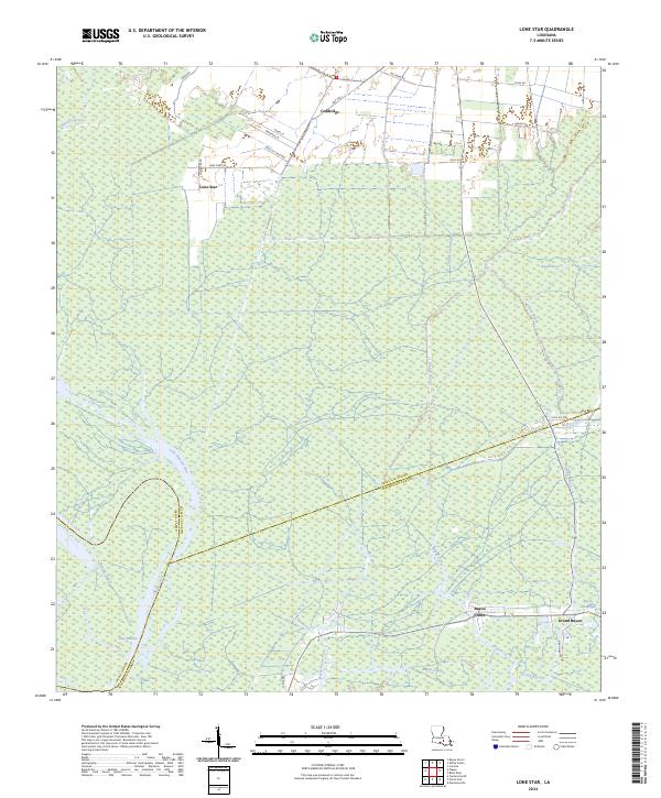
2024 Lone Star
Iberville Parish, LA
2024 Saint Gabriel
Iberville Parish, LA