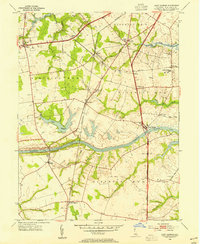
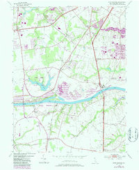
1953 Map of Saint Georges
USGS Topo · Published 1954About this map
The Chesapeake and Delaware Canal dominates the mid-section of this New Castle County survey, illustrating the critical maritime corridor that bifurcates the Delaware landscape. At the center of this network lies the town of Saint Georges, positioned where the Dupont Parkway crosses the canal. The map reveals a transit-oriented geography, featuring the Pennsylvania railroad line connecting Glasgow Sta, Porter, and Kirkwood. Educational and social hubs are clearly marked, from the riverfront campus of Kings College to smaller local landmarks like the MacDonough Sch. To the south, agricultural and residential patterns emerge around Boyds Corner and Mt Pleasant, while local history is preserved in sites such as Hickory Grove Cem and Peneader Ch. The presence of Lums Millpond and numerous runs like Dragon Creek and Scott Run define the area's drainage into the larger canal system.
Find a feature on this map
43 named features on this map. Tap any name to fly to it.
Don’t see what you’re looking for? This feature index may not catch every label — zoom into the map to look around manually.
Map Details
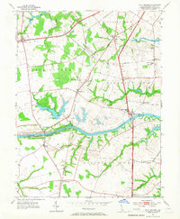
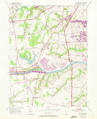
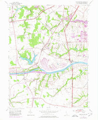
Editions of this 1953 Saint Georges Map
5 editions found
Other maps of this area

1898 · Elkton
USGS Topo · 1:62,500

1899 · Dover
USGS Topo · 1:125,000

1900 · Elkton
USGS Topo · 1:62,500

1900 · Cecilton
USGS Topo · 1:62,500

1904 · Wilmington
USGS Topo · 1:62,500

1906 · Dover
USGS Topo · 1:125,000

1906 · Wilmington
USGS Topo · 1:62,500

1917 · Elkton
USGS Topo · 1:62,500

1919 · Wilmington
USGS Topo · 1:62,500

1920 · Dover
USGS Topo · 1:125,000