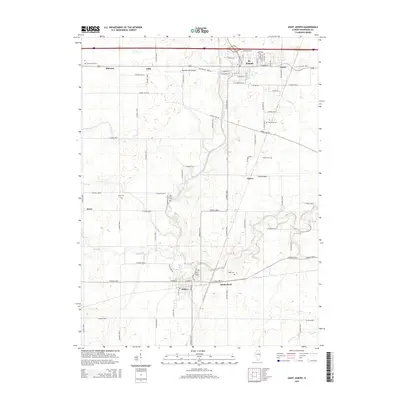
2015 Map of Saint Joseph
USGS Topo · Published 2015About this map
The Salt Fork river winds through this section of Champaign County, anchoring the settlements of St. Joseph and Sidney. This landscape is defined by its agricultural grid, where rural road networks like Co Road 1200 N and Co Road 2100 E connect small outlying hamlets including Mayview, Fulls, and Glover. The map reveals a high density of small family or community burial grounds, such as Huss Cem, Old Huss Cem, and Patterson Cem, which serve as vital markers for local genealogical research.
Find a feature on this map
79 named features on this map. Tap any name to fly to it.
Don’t see what you’re looking for? This feature index may not catch every label — zoom into the map to look around manually.
Map Details
Editions of this 2015 Saint Joseph Map
This is the sole edition of this map. No revisions or reprints were ever made.
Other maps of this area

1906 · Urbana
USGS Topo · 1:62,500

1931 · Fithian
USGS Topo · 1:48,000

1943 · Fithian
USGS Topo · 1:62,500

1953 · Danville
USGS Topo · 1:250,000

1953 · Indianapolis
USGS Topo · 1:250,000

1955 · Danville
USGS Topo · 1:250,000

1956 · Danville
USGS Topo · 1:250,000

1956 · Indianapolis
USGS Topo · 1:250,000

1956 · Newman
USGS Topo · 1:62,500

1956 · Villa Grove
USGS Topo · 1:62,500