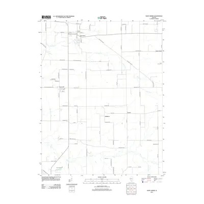
2012 Map of Saint Libory
USGS Topo · Published 2012About this map
Saint Libory and the surrounding agricultural landscape of southern Illinois are defined by a grid of rural routes and the wandering paths of Little Mud Cr and Mud Cr. This 2012 survey shows the enduring footprint of small crossroad settlements like Darmstadt, Biddleborn, and Stone Church, each anchored by historical sites such as the Darmstadt Memorial Cem and Saint Damian Cem. The intersection of Washington Co Line Rd and Old Saint Louis Rd marks a key transit corridor through the fertile terrain. To the south, industrial and utility features emerge with the Marissa Waterworks and Marissa Reservoir, while aviation history is represented by the Shubert Airport. This topographic study preserves the placement of family-named roads and rural cemeteries that are vital for local genealogical research.
Find a feature on this map
74 named features on this map. Tap any name to fly to it.
Don’t see what you’re looking for? This feature index may not catch every label — zoom into the map to look around manually.
Map Details
Editions of this 2012 Saint Libory Map
This is the sole edition of this map. No revisions or reprints were ever made.
Other maps of this area

1910 · Okawville
USGS Topo · 1:62,500

1912 · New Athens
USGS Topo · 1:62,500

1912 · Baldwin
USGS Topo · 1:62,500

1914 · Baldwin
USGS Topo · 1:62,500

1914 · Coulterville
USGS Topo · 1:62,500

1917 · Coulterville
USGS Topo · 1:62,500

1940 · Okawville
USGS Topo · 1:62,500

1942 · Baldwin
USGS Topo · 1:62,500
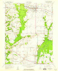
1954 · Mascoutah
USGS Topo · 1:24,000
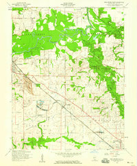
1954 · New Athens East
USGS Topo · 1:24,000