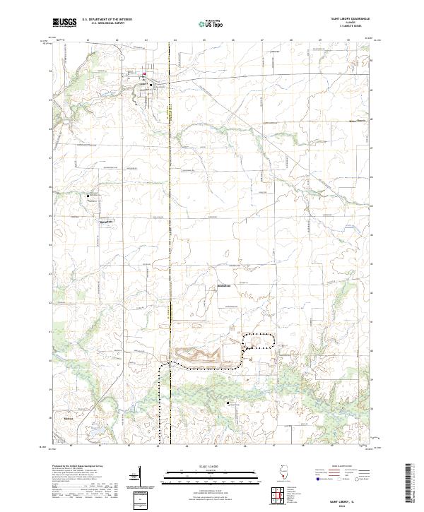
2024 Map of Saint Libory
USGS Topo · Published 2024About this map
St. Libory and the surrounding prairie landscape of southwestern Illinois appear here in a transition between rural agricultural roots and modern water management. The town is anchored by Saint Liborius Church and the adjacent St Liborius Cem, while to the west, the settlement of Darmstadt and its Darmstadt Memorial Cem reflect the enduring legacy of early German immigrant communities in the region.
Find a feature on this map
69 named features on this map. Tap any name to fly to it.
Don’t see what you’re looking for? This feature index may not catch every label — zoom into the map to look around manually.
Map Details
Editions of this 2024 Saint Libory Map
This is the sole edition of this map. No revisions or reprints were ever made.
Other maps of this area

1910 · Okawville
USGS Topo · 1:62,500

1912 · New Athens
USGS Topo · 1:62,500

1912 · Baldwin
USGS Topo · 1:62,500

1914 · Baldwin
USGS Topo · 1:62,500

1914 · Coulterville
USGS Topo · 1:62,500

1917 · Coulterville
USGS Topo · 1:62,500

1940 · Okawville
USGS Topo · 1:62,500

1942 · Baldwin
USGS Topo · 1:62,500
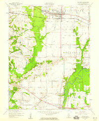
1954 · Mascoutah
USGS Topo · 1:24,000
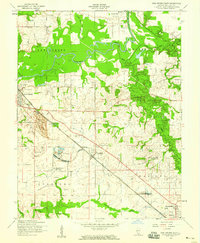
1954 · New Athens East
USGS Topo · 1:24,000