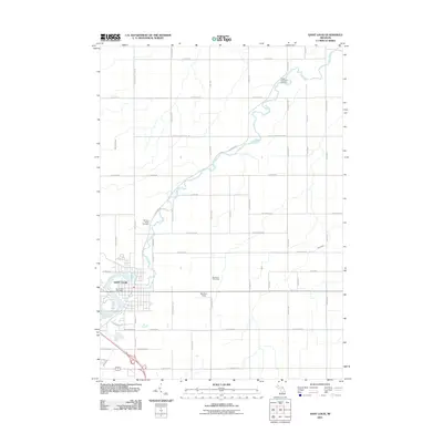
2011 Map of Saint Louis
USGS Topo · Published 2011About this map
Saint Louis sits prominently along the winding banks of the Pine River, which meanders across the central landscape of this Gratiot County region. The settlement pattern reveals a transition from the structured street grid of the town center to the vast, rectilinear township road system that defines the agricultural surrounding. Significant sites for local history include the Bethany Indian Cemetery tucked near a river bend and the Jasper Township Cemetery in the northeastern quadrant. The presence of the Church of God Camp and the Saint Louis Post Office highlights the community's established social and civic infrastructure. Waterways such as Little Salt Creek, Bush Creek, and Horse Creek drain the surrounding fields, illustrating the hydraulic character of the Michigan interior.
Find a feature on this map
51 named features on this map. Tap any name to fly to it.
Don’t see what you’re looking for? This feature index may not catch every label — zoom into the map to look around manually.
Map Details
Editions of this 2011 Saint Louis Map
This is the sole edition of this map. No revisions or reprints were ever made.
Other maps of this area

1930 · Shepherd
USGS Topo · 1:48,000

1934 · Sanford
USGS Topo · 1:62,500

1934 · Merrill
USGS Topo · 1:62,500

1935 · Alma
USGS Topo · 1:62,500

1936 · Shepherd
USGS Topo · 1:62,500

1936 · Sanford
USGS Topo · 1:62,500

1937 · Merrill
USGS Topo · 1:62,500

1938 · Alma
USGS Topo · 1:62,500

1954 · Midland
USGS Topo · 1:250,000

1958 · Midland
USGS Topo · 1:250,000