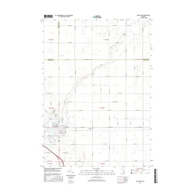
2017 Map of Saint Louis
USGS Topo · Published 2017About this map
St. Louis sits at the southern edge of this Gratiot County landscape, where the Pine River winds through the terrain toward the northeast. The map illustrates a highly organized grid of rural roads, including W Laporte Rd and S Magrudder Rd, which define the agricultural sections north of the city. This 2017 survey documents the intersection of three Michigan counties: Gratiot, Midland, and Isabella, providing a precise look at the jurisdictional boundaries that meet just north of the city limits.
Find a feature on this map
86 named features on this map. Tap any name to fly to it.
Don’t see what you’re looking for? This feature index may not catch every label — zoom into the map to look around manually.
Map Details
Editions of this 2017 Saint Louis Map
This is the sole edition of this map. No revisions or reprints were ever made.
Other maps of this area

1930 · Shepherd
USGS Topo · 1:48,000

1934 · Sanford
USGS Topo · 1:62,500

1934 · Merrill
USGS Topo · 1:62,500

1935 · Alma
USGS Topo · 1:62,500

1936 · Shepherd
USGS Topo · 1:62,500

1936 · Sanford
USGS Topo · 1:62,500

1937 · Merrill
USGS Topo · 1:62,500

1938 · Alma
USGS Topo · 1:62,500

1954 · Midland
USGS Topo · 1:250,000

1958 · Midland
USGS Topo · 1:250,000