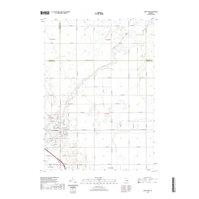
2019 Map of Saint Louis
USGS Topo · Published 2019About this map
St. Louis sits at the southwestern edge of this survey, where the winding Pine River and Horse Cr converge. The landscape is defined by the tri-county boundary where Gratiot, Midland, and Isabella counties meet, creating a complex grid of rural routes like Midland Gratiot Co Line Rd and W Co Line Rd. North of the city, the terrain transitions into a more sparsely populated agricultural area drained by Little Salt Cr and Bush Cr.
Find a feature on this map
79 named features on this map. Tap any name to fly to it.
Don’t see what you’re looking for? This feature index may not catch every label — zoom into the map to look around manually.
Map Details
Editions of this 2019 Saint Louis Map
This is the sole edition of this map. No revisions or reprints were ever made.
Other maps of this area

1930 · Shepherd
USGS Topo · 1:48,000

1934 · Sanford
USGS Topo · 1:62,500

1934 · Merrill
USGS Topo · 1:62,500

1935 · Alma
USGS Topo · 1:62,500

1936 · Shepherd
USGS Topo · 1:62,500

1936 · Sanford
USGS Topo · 1:62,500

1937 · Merrill
USGS Topo · 1:62,500

1938 · Alma
USGS Topo · 1:62,500

1954 · Midland
USGS Topo · 1:250,000

1958 · Midland
USGS Topo · 1:250,000