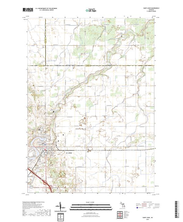
2023 Map of Saint Louis
USGS Topo · Published 2023About this map
St. Louis sits at the southern bend of the Pine River, serving as a central hub where Gratiot, Isabella, and Midland counties meet. This modern survey illustrates the persistent agricultural and residential grid that defines the region, with the river winding through the landscape and feeding into secondary waterways like Bush Creek and Little Salt Creek. The map records essential markers of local heritage and genealogy, most notably the Bethany Indian Cem and Jasper Township Cem. These sites, along with Oak Grove Cem, provide vital points of reference for those tracing family history in this corner of Michigan. The road network, including arterial routes like N State Rd Co Rd 521 and Riverside Dr, reflects a landscape deeply shaped by its waterways and township boundaries.
Find a feature on this map
79 named features on this map. Tap any name to fly to it.
Don’t see what you’re looking for? This feature index may not catch every label — zoom into the map to look around manually.
Map Details
Editions of this 2023 Saint Louis Map
This is the sole edition of this map. No revisions or reprints were ever made.
Historical Maps of Bethany Township Through Time
11 maps found
1965 Pompeii
Gratiot County, MI
1965 Sumner
Gratiot County, MI
1973 Alma North
Gratiot County, MI
1973 Alma South
Gratiot County, MI
1973 Rathbone
Gratiot County, MI
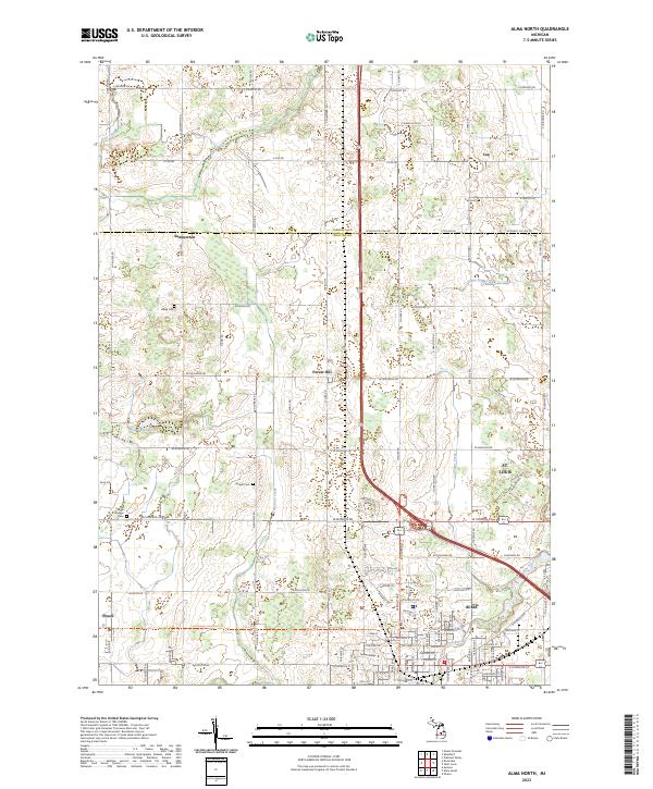
2023 Alma North
Gratiot County, MI
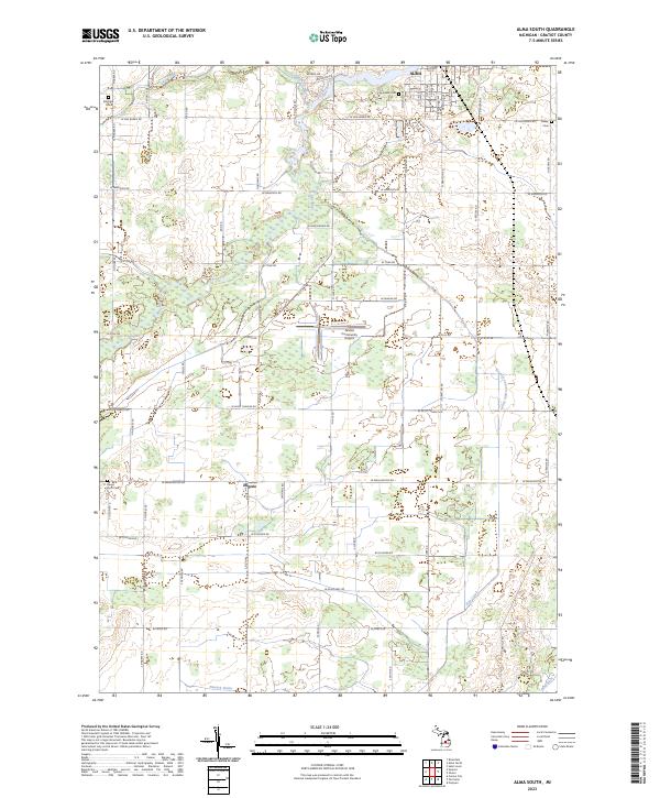
2023 Alma South
Gratiot County, MI
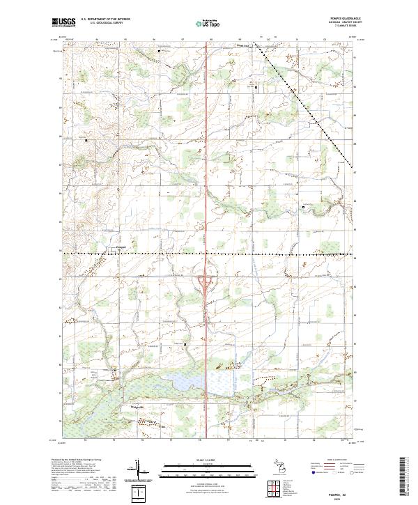
2023 Pompeii
Gratiot County, MI
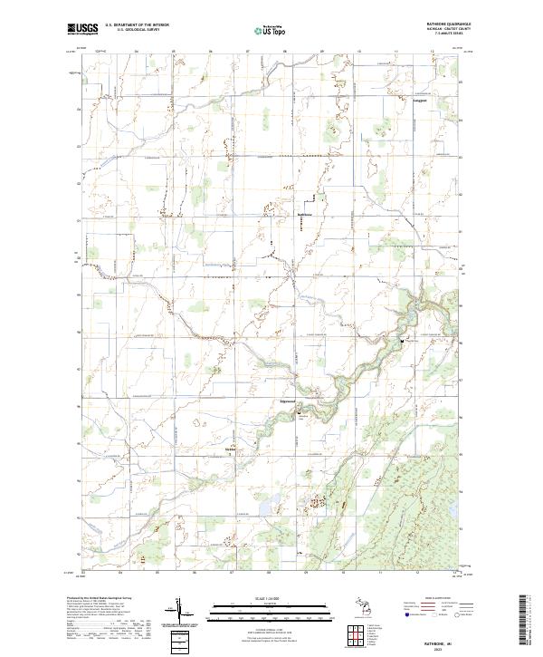
2023 Rathbone
Gratiot County, MI
2023 Saint Louis
Gratiot County, MI
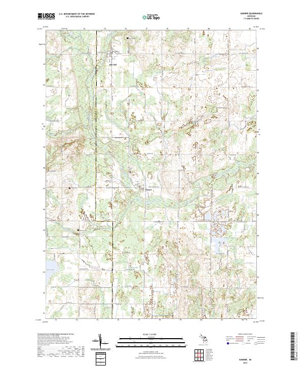
2023 Sumner
Gratiot County, MI