
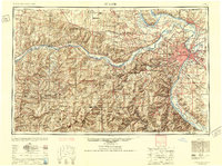
1949 Map of Saint Louis
USGS Topo · Published 1949This historical map portrays the area of Saint Louis in 1949, primarily covering St. Louis as well as portions of Illinois. Featuring a scale of 1:250000, this map provides a highly detailed snapshot of the terrain, roads, buildings, counties, and historical landmarks in the Saint Louis region at the time. Published in 1949, it is one of 2 known editions of this map due to revisions or reprints.
Find a feature on this map
342 named features on this map. Tap any name to fly to it.
Don’t see what you’re looking for? This feature index may not catch every label — zoom into the map to look around manually.
Map Details
Editions of this 1949 Saint Louis Map
2 editions found
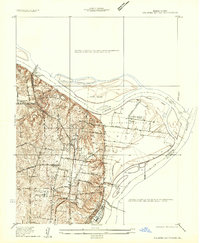
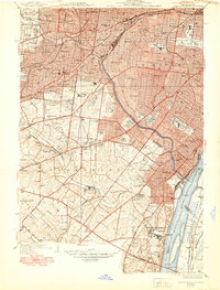
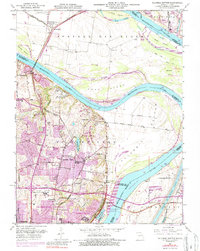
Historical Maps of Calwood Through Time
10 maps found

1924 Robertson
St. Louis County, MO

1931 Manchester SE
St. Louis County, MO

1932 Manchester NE
St. Louis County, MO

1933 Jefferson Barracks
St. Louis County, MO
1935 Columbia Bottom
St. Louis County, MO
1941 Jefferson Barracks
St. Louis County, MO
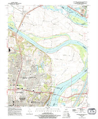
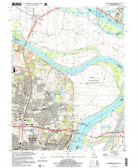
1949 Saint Louis
St. Louis County, MO
1951 Columbia Bottom
St. Louis County, MO
1994 Columbia Bottom
St. Louis County, MO
1998 Columbia Bottom
St. Louis County, MO