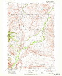
1954 Map of Saint Onge SE
USGS Topo · Published 1972About this map
Whitewood Creek and Stinkingwater Creek anchor this mid-century landscape where Butte, Lawrence, and Meade counties meet. The survey reveals a network of small, rural schools distributed across the drainage basins, including Loup Sch, Oakdale Sch, and Big Bottom Sch, which served the ranching and farming families of the Missouri River Basin during this era of development. To the south, the terrain rises toward the prominent Snake Bench, overlooking the confluence of Crow Creek and Cottonwood Creek. Local infrastructure is marked by features such as a Gravel Pit and a lone Cem, indicating the scattered but established footprint of early rural South Dakota communities.
Find a feature on this map
16 named features on this map. Tap any name to fly to it.
Don’t see what you’re looking for? This feature index may not catch every label — zoom into the map to look around manually.
Map Details
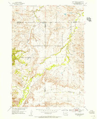
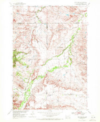
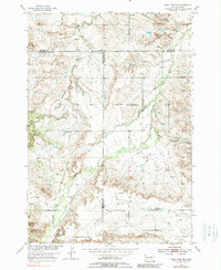
Editions of this 1954 Saint Onge SE Map
4 editions found
Other maps of this area

1893 · Rapid
USGS Topo · 1:125,000

1894 · Deadwood
USGS Topo · 1:125,000

1898 · Rapid
USGS Topo · 1:125,000

1899 · Sturgis
USGS Topo · 1:62,500

1901 · Deadwood
USGS Topo · 1:125,000

1903 · Rapid
USGS Topo · 1:125,000

1905 · Saint Onge
USGS Topo · 1:62,500

1906 · Vale
USGS Topo · 1:62,500

1907 · Belle Fourche
USGS Topo · 1:125,000

1913 · Newell
USGS Topo · 1:125,000