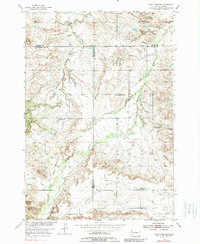
1954 Map of Saint Onge SE
USGS Topo · Published 1989About this map
Rural schoolhouses anchor the landscape of this mid-century Western South Dakota survey, reflecting a period when small country districts still served the agricultural community. Educational landmarks like Loup Sch, Oakdale Sch, and Bench Sch are distributed across the terrain, alongside a small Cem that provides a focal point for family researchers. The map is defined by its complex drainage network, where the headwaters of Stinkingwater Creek, Crow Creek, and Whitewood Creek carve through the plateau.
Find a feature on this map
16 named features on this map. Tap any name to fly to it.
Don’t see what you’re looking for? This feature index may not catch every label — zoom into the map to look around manually.
Map Details
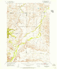
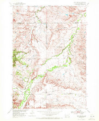
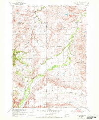
Editions of this 1954 Saint Onge SE Map
4 editions found
Other maps of this area

1893 · Rapid
USGS Topo · 1:125,000

1894 · Deadwood
USGS Topo · 1:125,000

1898 · Rapid
USGS Topo · 1:125,000

1899 · Sturgis
USGS Topo · 1:62,500

1901 · Deadwood
USGS Topo · 1:125,000

1903 · Rapid
USGS Topo · 1:125,000

1905 · Saint Onge
USGS Topo · 1:62,500

1906 · Vale
USGS Topo · 1:62,500

1907 · Belle Fourche
USGS Topo · 1:125,000

1913 · Newell
USGS Topo · 1:125,000