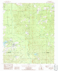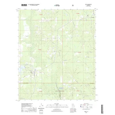
2003 Map of Saline
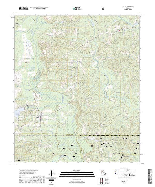
USGS Topo · Published 2005About this map
The town of Saline serves as a central hub in this early 2000s study, where the borders of Bienville Parish, Natchitoches Parish, and Winn Parish converge. The landscape is defined by the protected corridor of the Saline Bayou National Wild and Scenic River and the sprawling timberlands of the Kisatchie National Forest. Historically significant watercourses like Blooms Mill Creek and Sprawls Mill Creek suggest a legacy of local milling and early industry, while the Mill Creek Reservoir anchors the western portion of the quadrangle.
Find a feature on this map
24 named features on this map. Tap any name to fly to it.
Don’t see what you’re looking for? This feature index may not catch every label — zoom into the map to look around manually.
Map Details
Editions of this 2003 Saline Map
This is the sole edition of this map. No revisions or reprints were ever made.
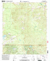
Historical Maps of Saline Through Time
7 maps found