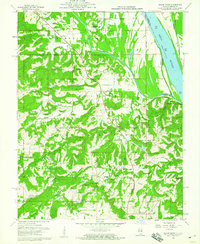
1959 Map of Saline Mines
USGS Topo · Published 1960About this map
The industrial and rural landscape of southern Illinois is defined by the extraction economy near the confluence of the Saline River and the Ohio River. Located within the Shawnee National Forest, this 1959 survey reveals an extensive network of mineral operations, including the Mahoning Mine, Victory Mine, and the Oxford Mine. These sites are clustered along the Hardin County and Gallatin County line, indicating a period of high activity for the regional fluorspar and coal industries.
Find a feature on this map
59 named features on this map. Tap any name to fly to it.
Don’t see what you’re looking for? This feature index may not catch every label — zoom into the map to look around manually.
Map Details
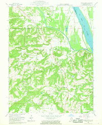
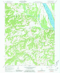
Editions of this 1959 Saline Mines Map
3 editions found
Other maps of this area

1916 · Shawneetown
USGS Topo · 1:62,500

1916 · Fords Ferry
USGS Topo · 1:62,500

1916 · Golconda
USGS Topo · 1:62,500

1916 · Equality
USGS Topo · 1:62,500

1920 · Goloonda
USGS Topo · 1:48,000

1921 · Fords Ferry
USGS Topo · 1:48,000

1921 · Golconda
USGS Topo · 1:62,500

1925 · Cave In Rock
USGS Topo · 1:62,500

1949 · Paducah
USGS Topo · 1:250,000

1950 · Paducah
USGS Topo · 1:250,000